Trip from Pittsburgh, Pennsylvania to Washington, DC
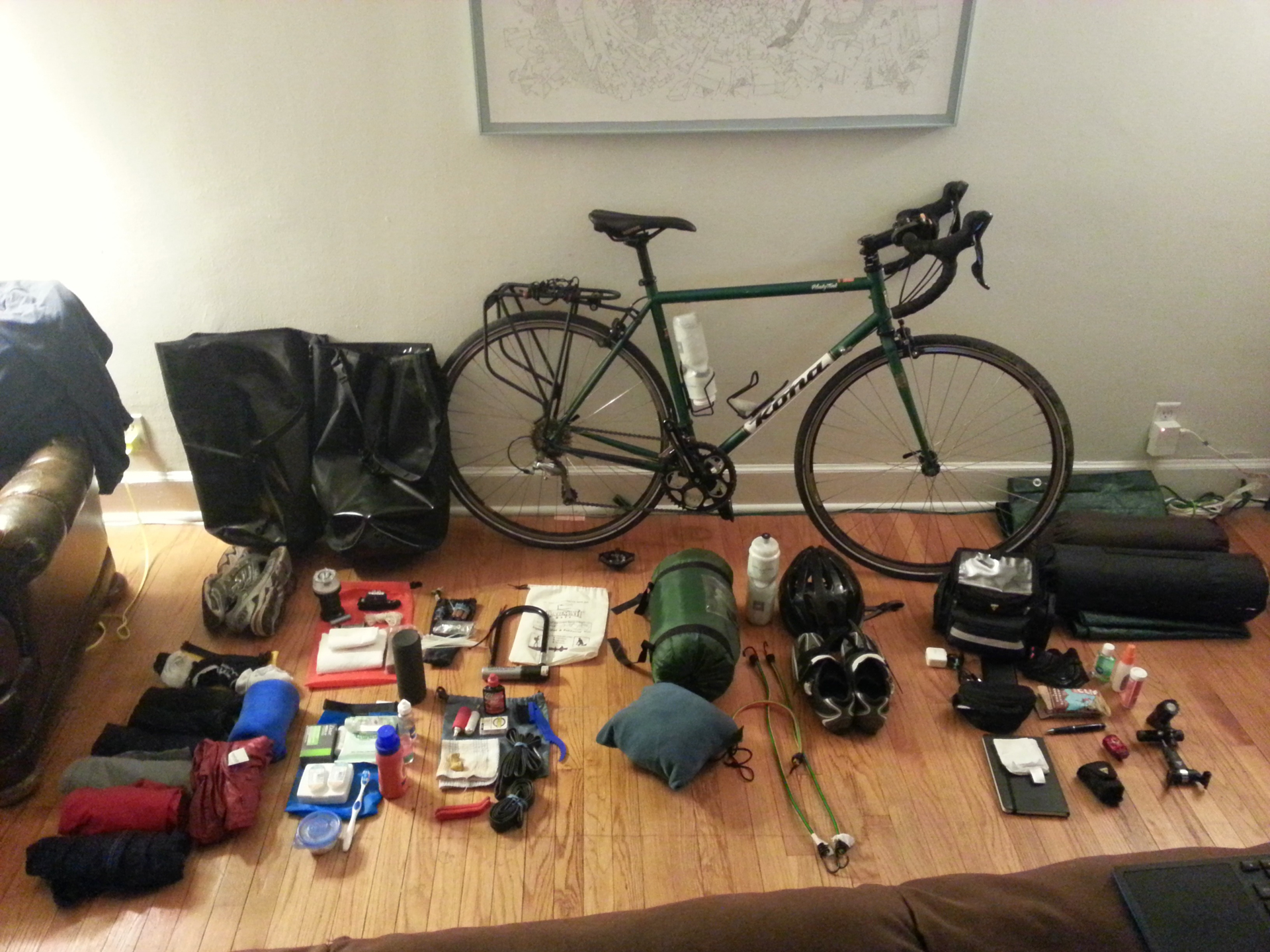
Gearing Up
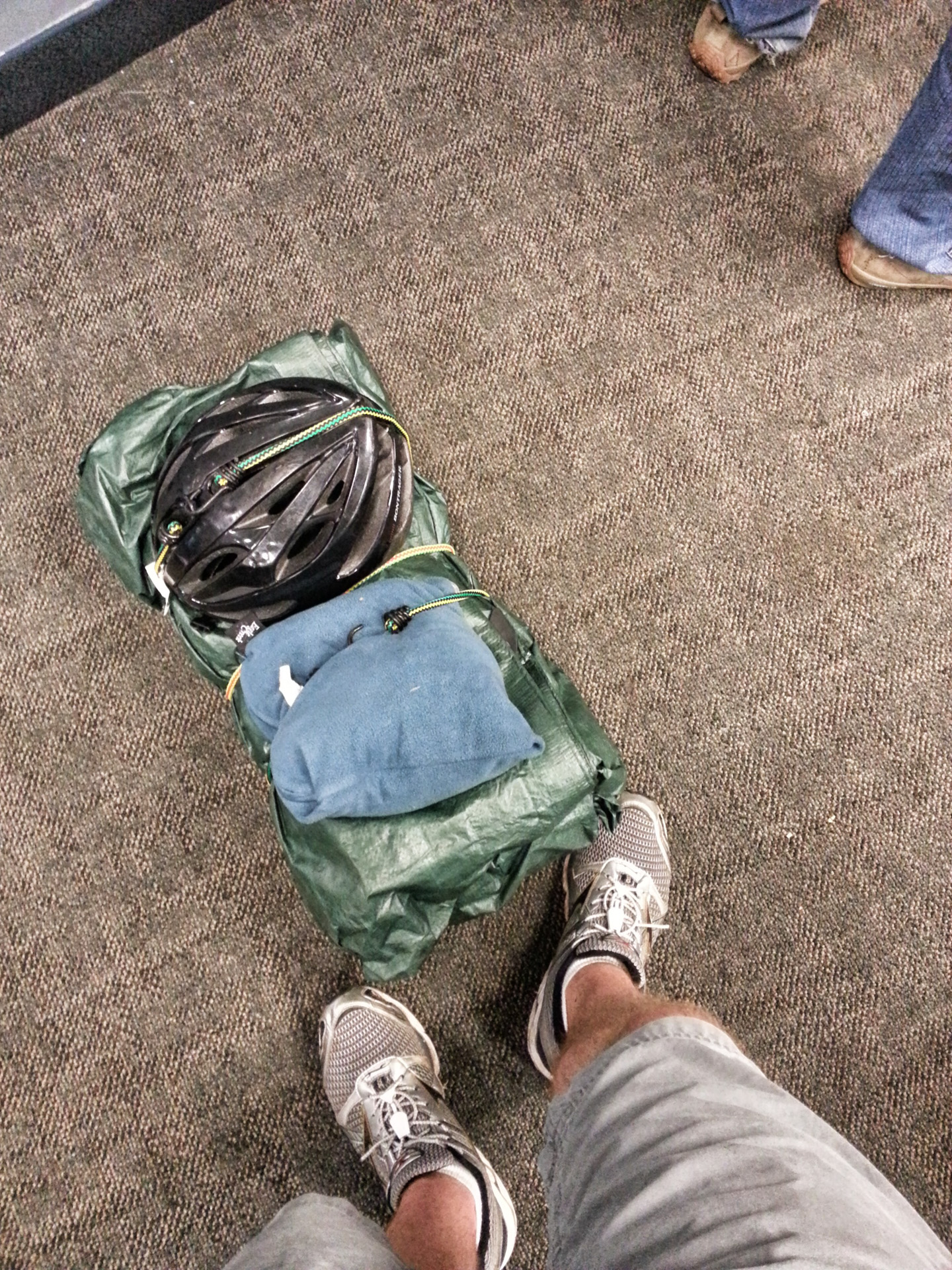
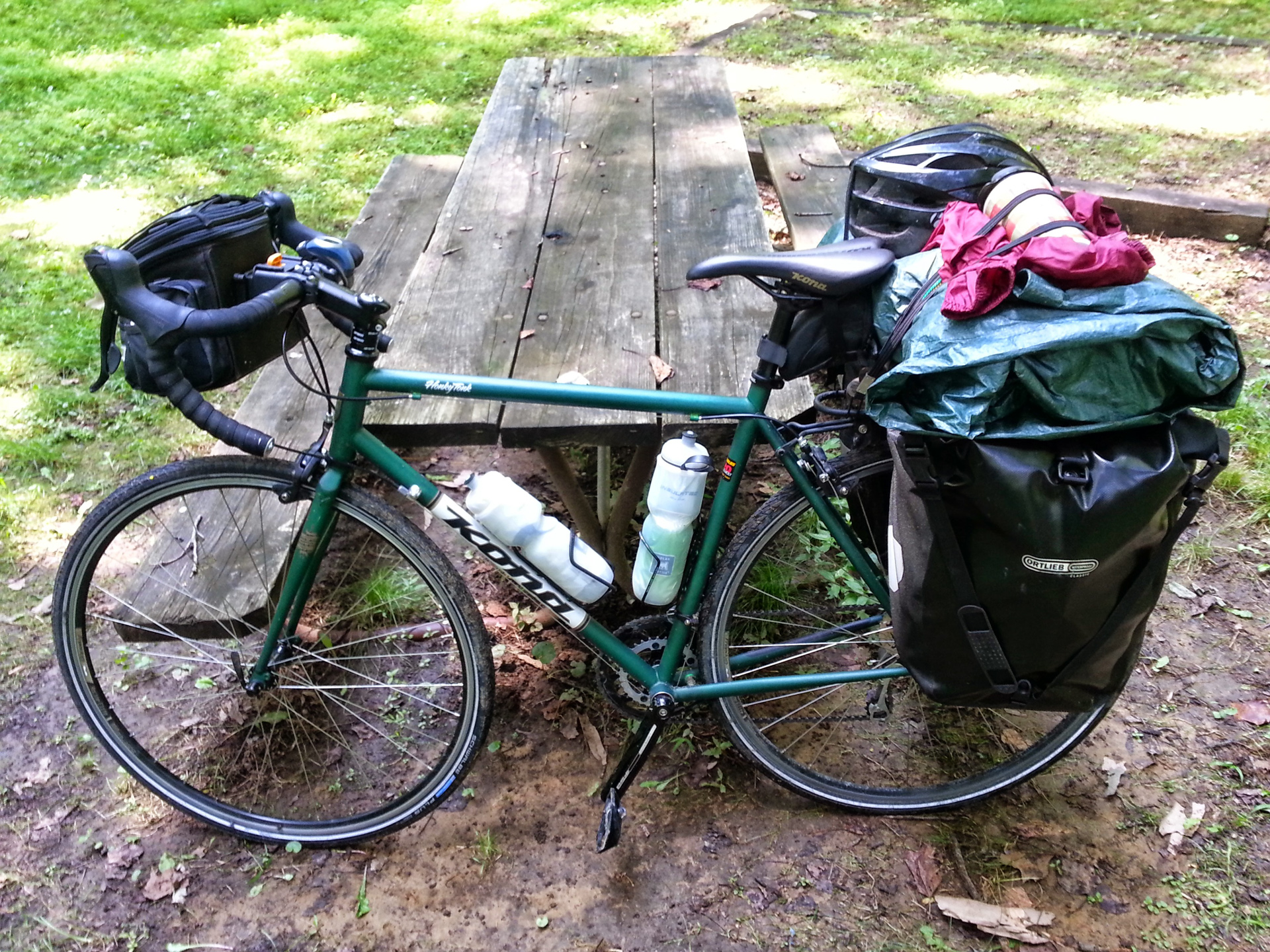
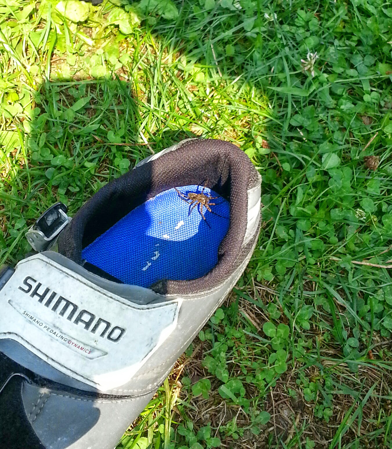
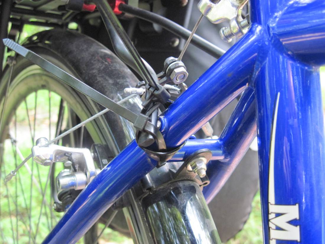
I spent a ridiculous amount of time planning out my gear and organizing it all. Waterproofing proved to be very important.
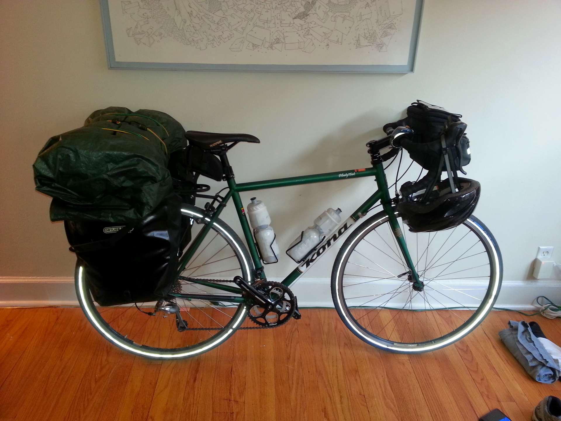
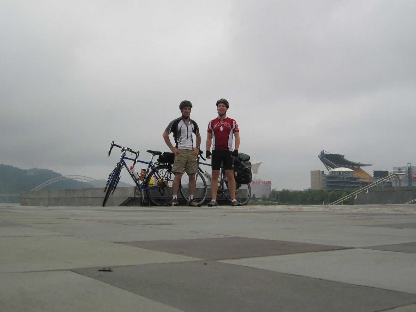
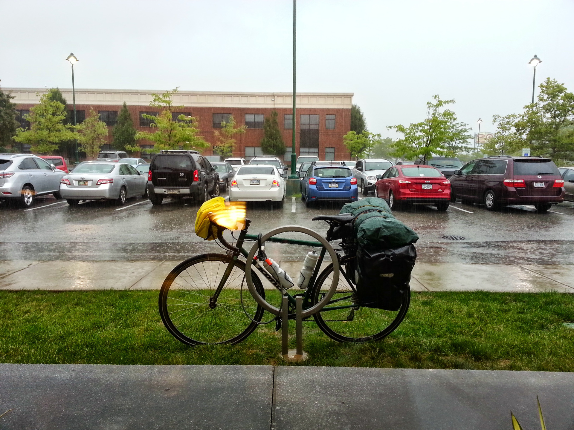
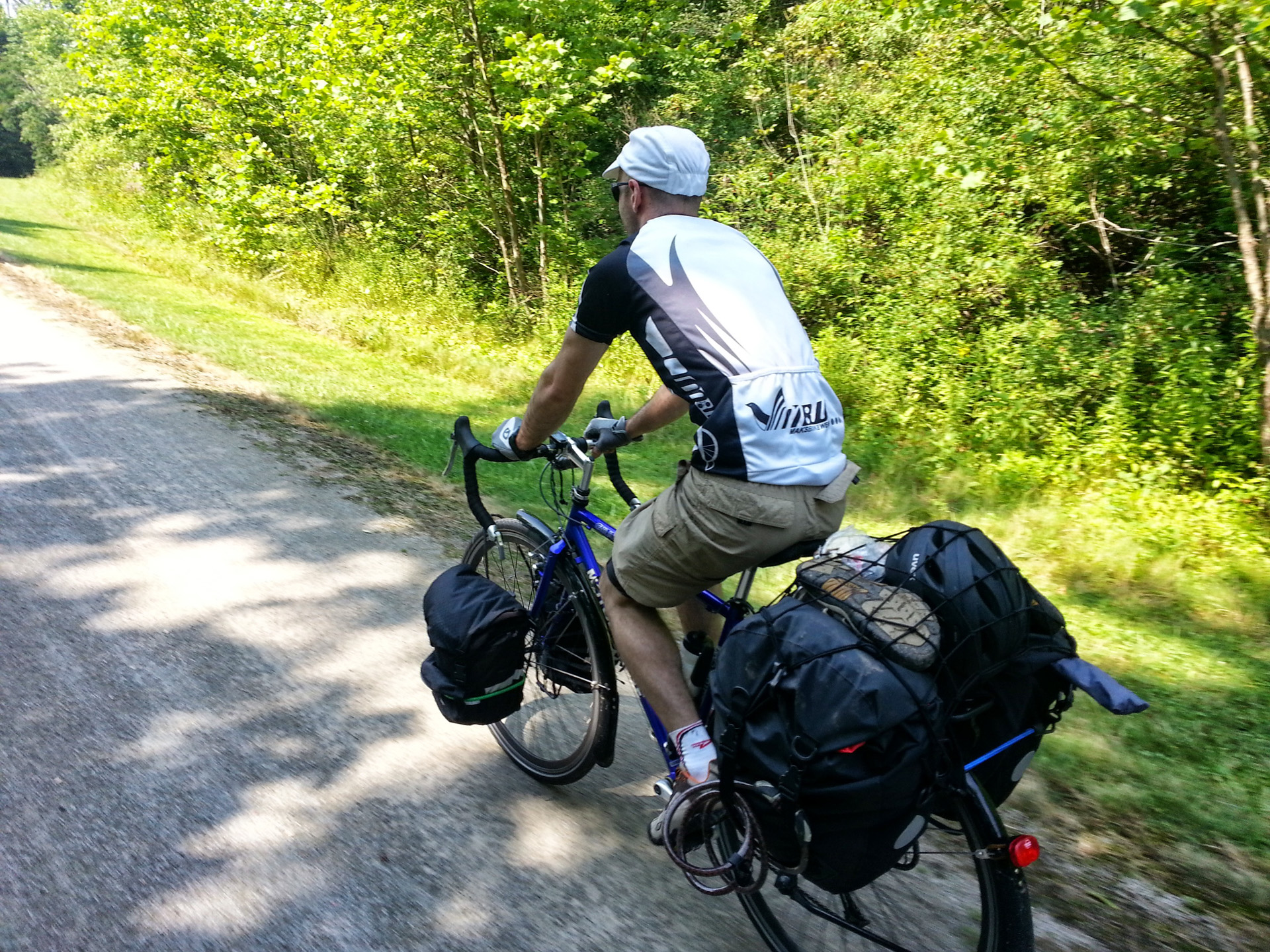
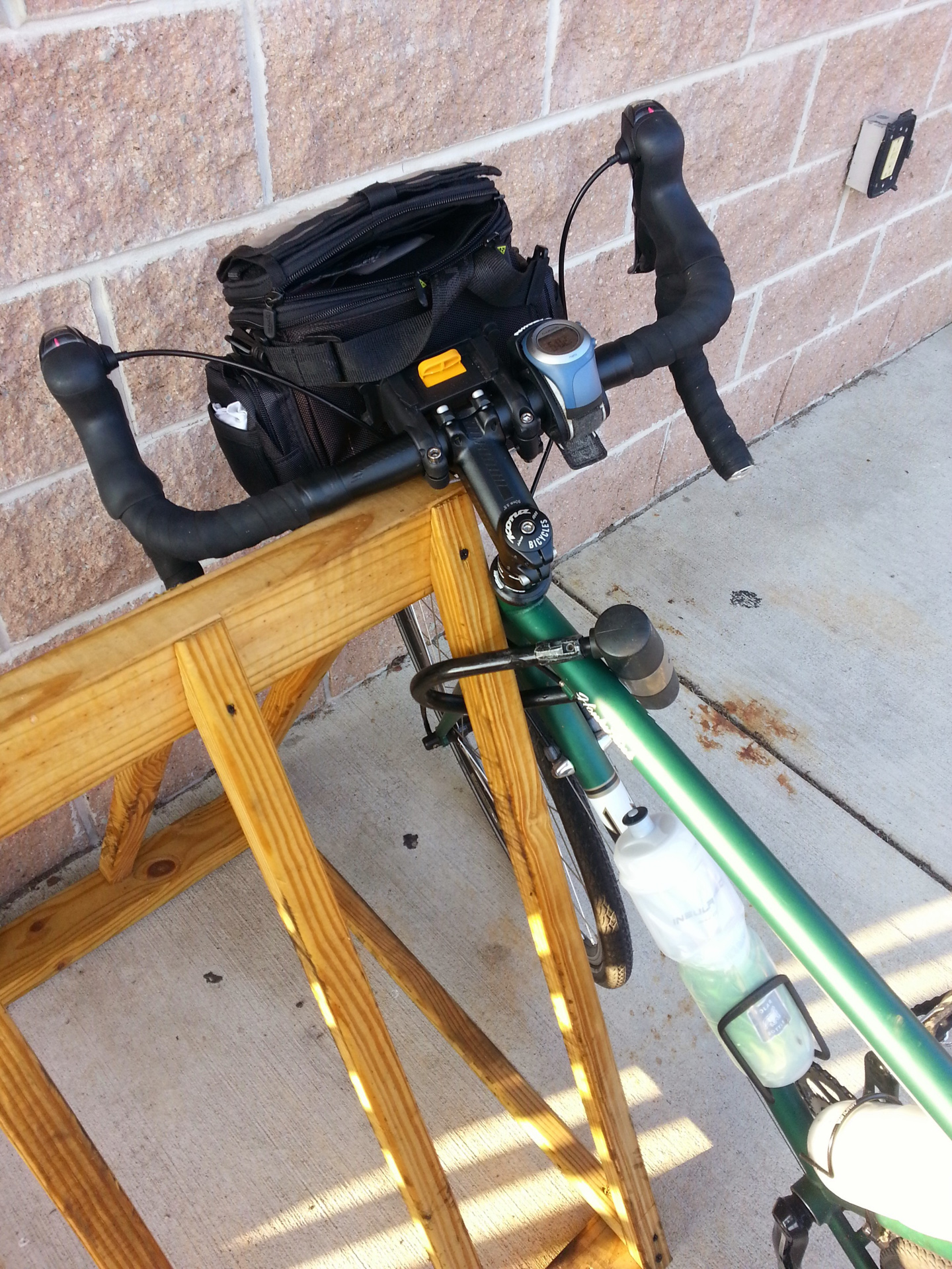
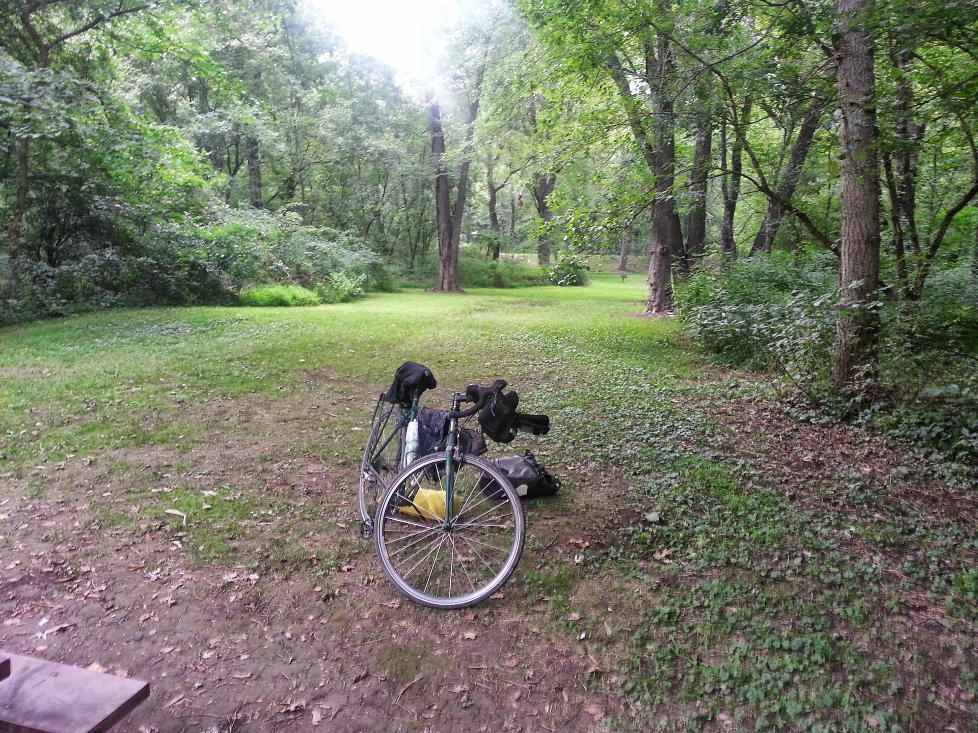
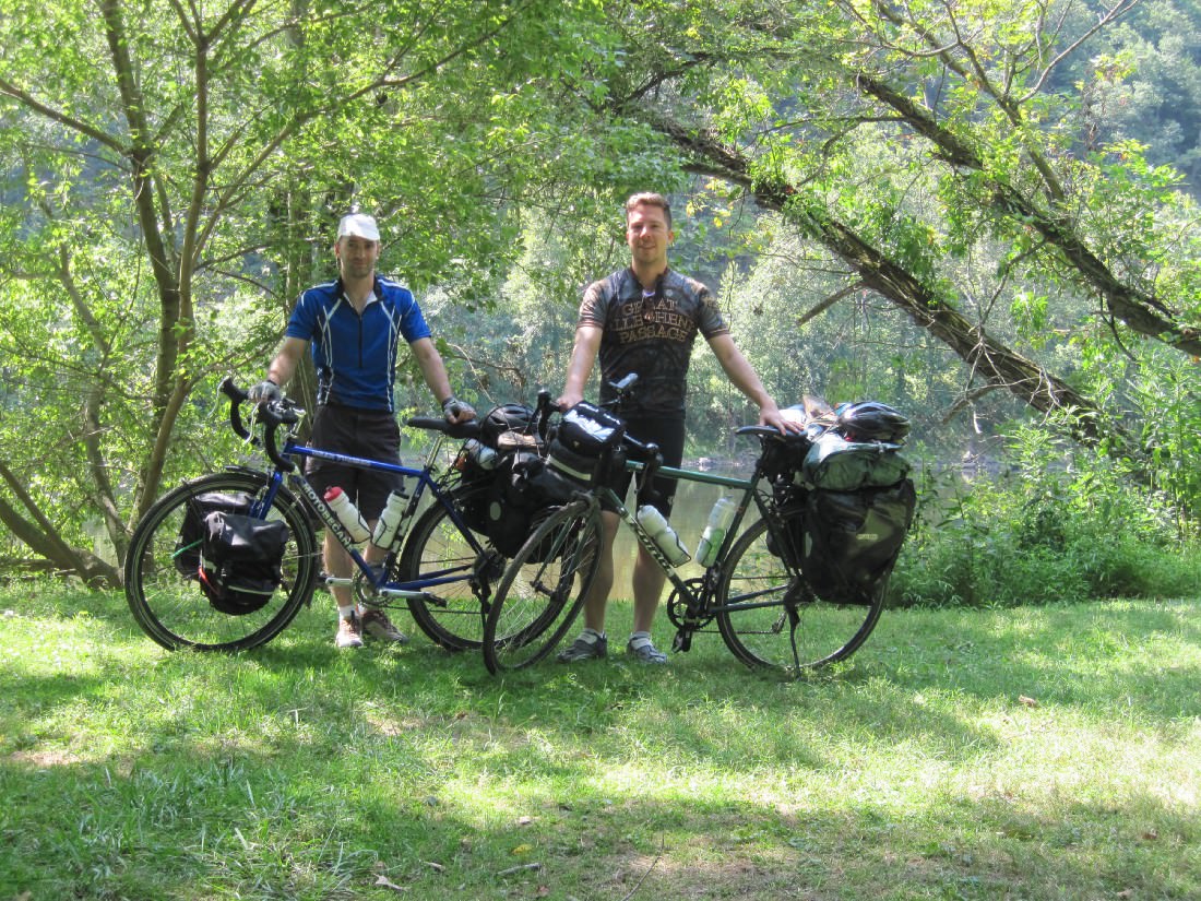
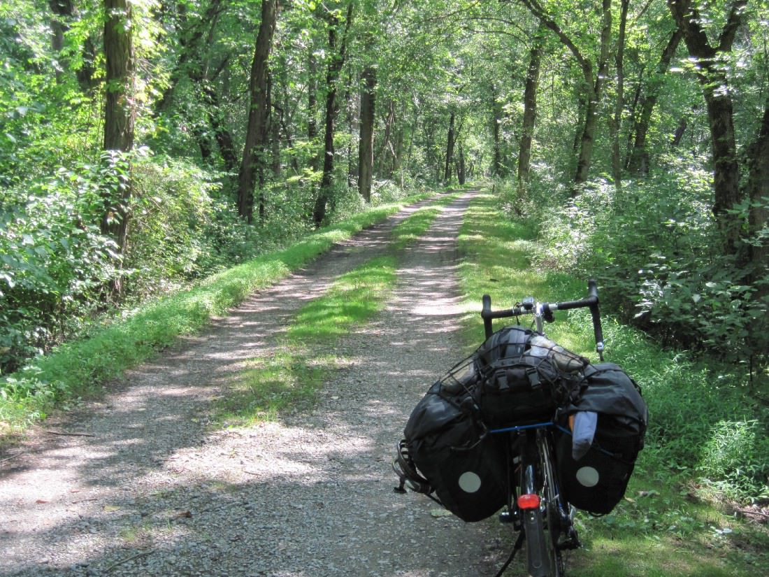
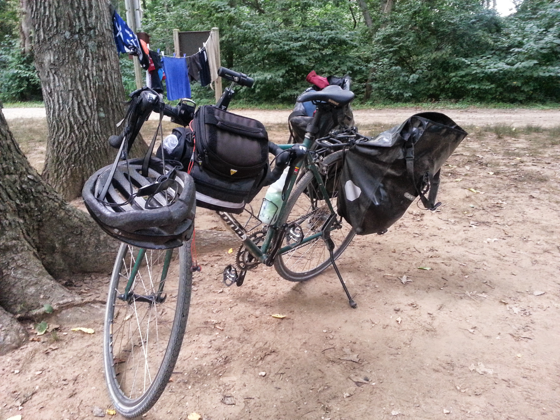
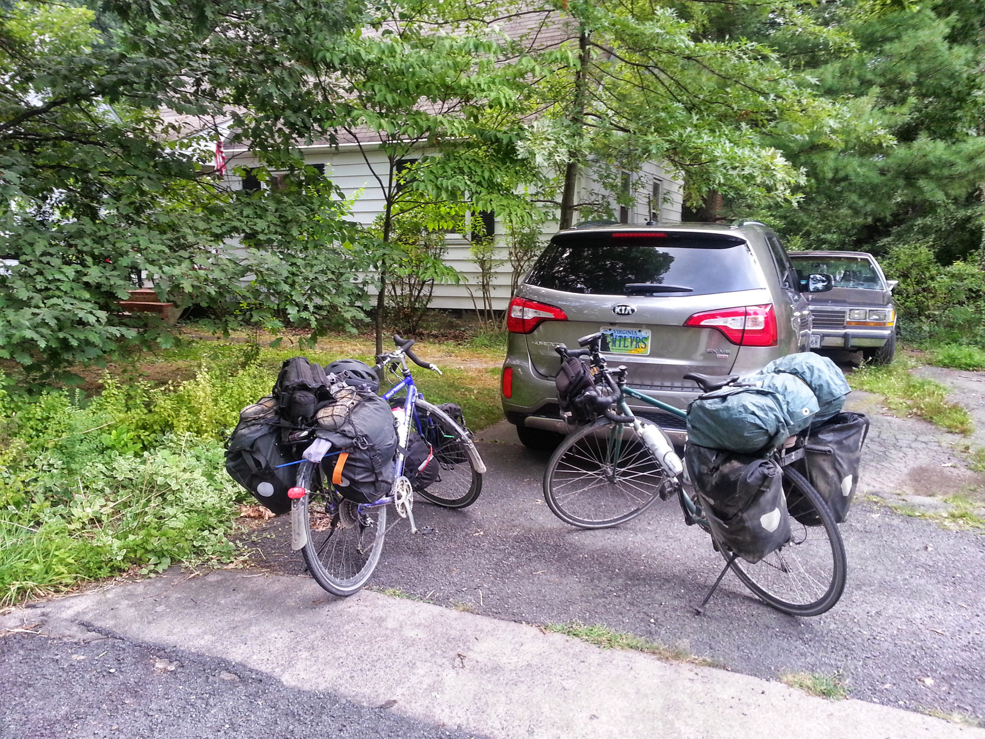
Here’s the bike fully loaded. It’s a Kona Honky Tonk with Schwalbe Marathon Tires, 28c. I have a set of Ortlieb Back Roller Classics on the rear rack, and a Topeak Tourguide Handle Bar Bag on the front. The Kona might not be the ideal touring bike, since I wasn’t able to fit it with fenders or a front rack, but it did great on the trails and it is very comfortable.
This being my first tour, I was pretty thorough when it came to planning out my gear. Google Sheets was a big help (gear list here). In the end, there are a few things I wish I had brought and a few things I could have left behind, but overall it worked out pretty well.
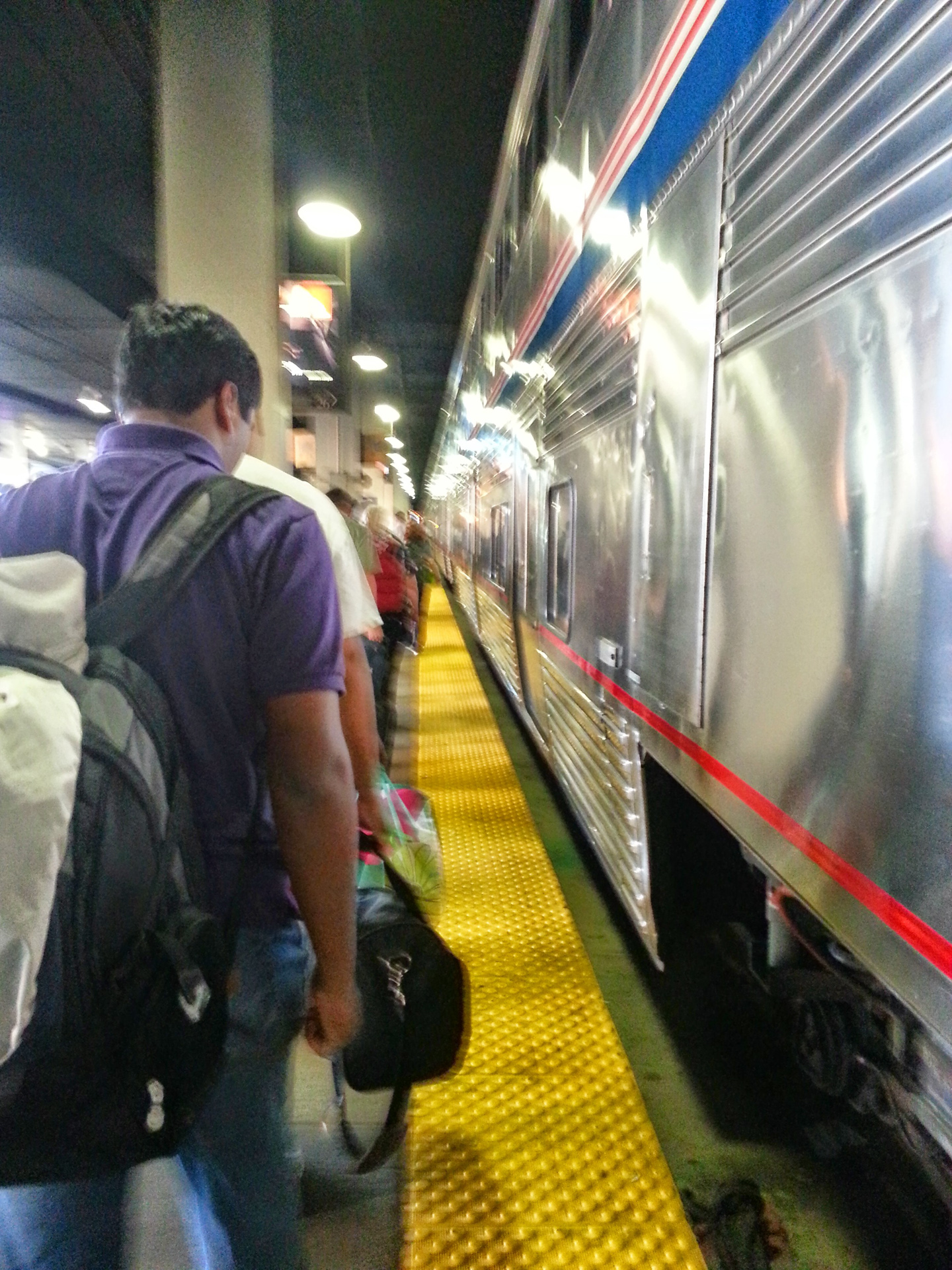
Day 0 — Traveling to Pittsburgh
Left Chicago at 6:40pm Saturday and Arrived in Pittsburgh at about 7am on Sunday. Amtrak loves delays apparently. I got a good amount of sleep on the train and we started the first leg of the journey Sunday morning.
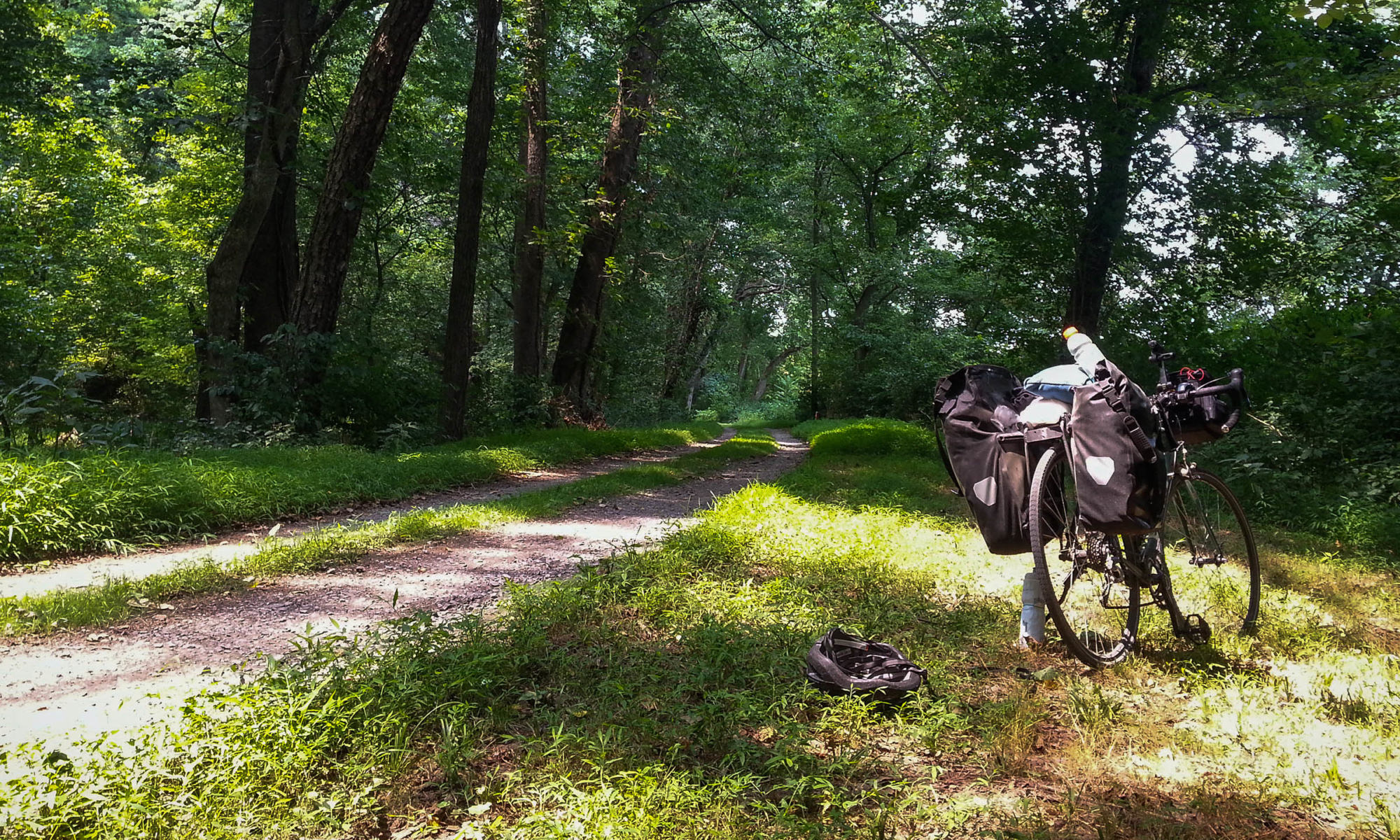
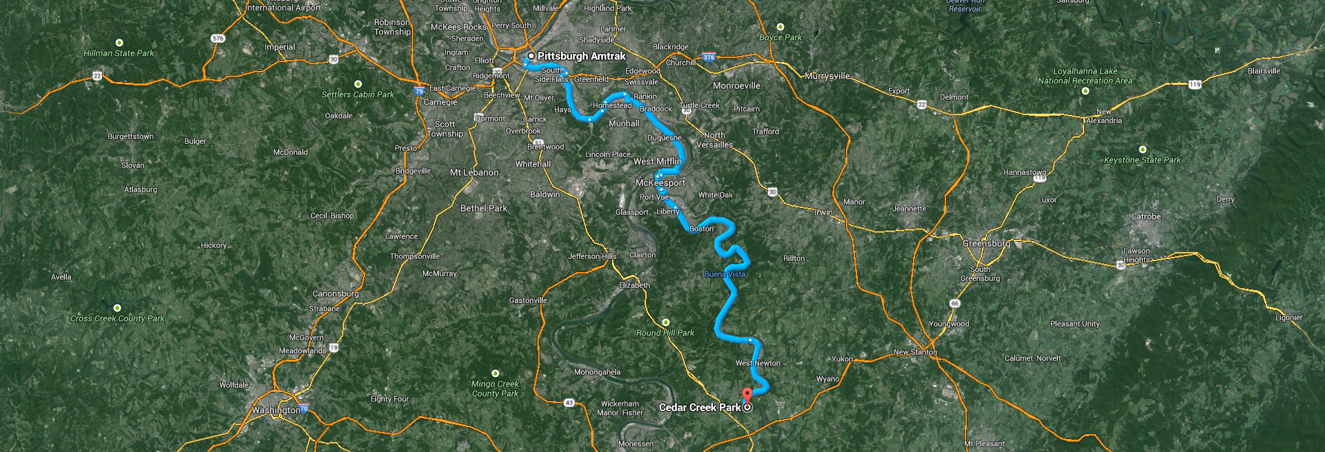
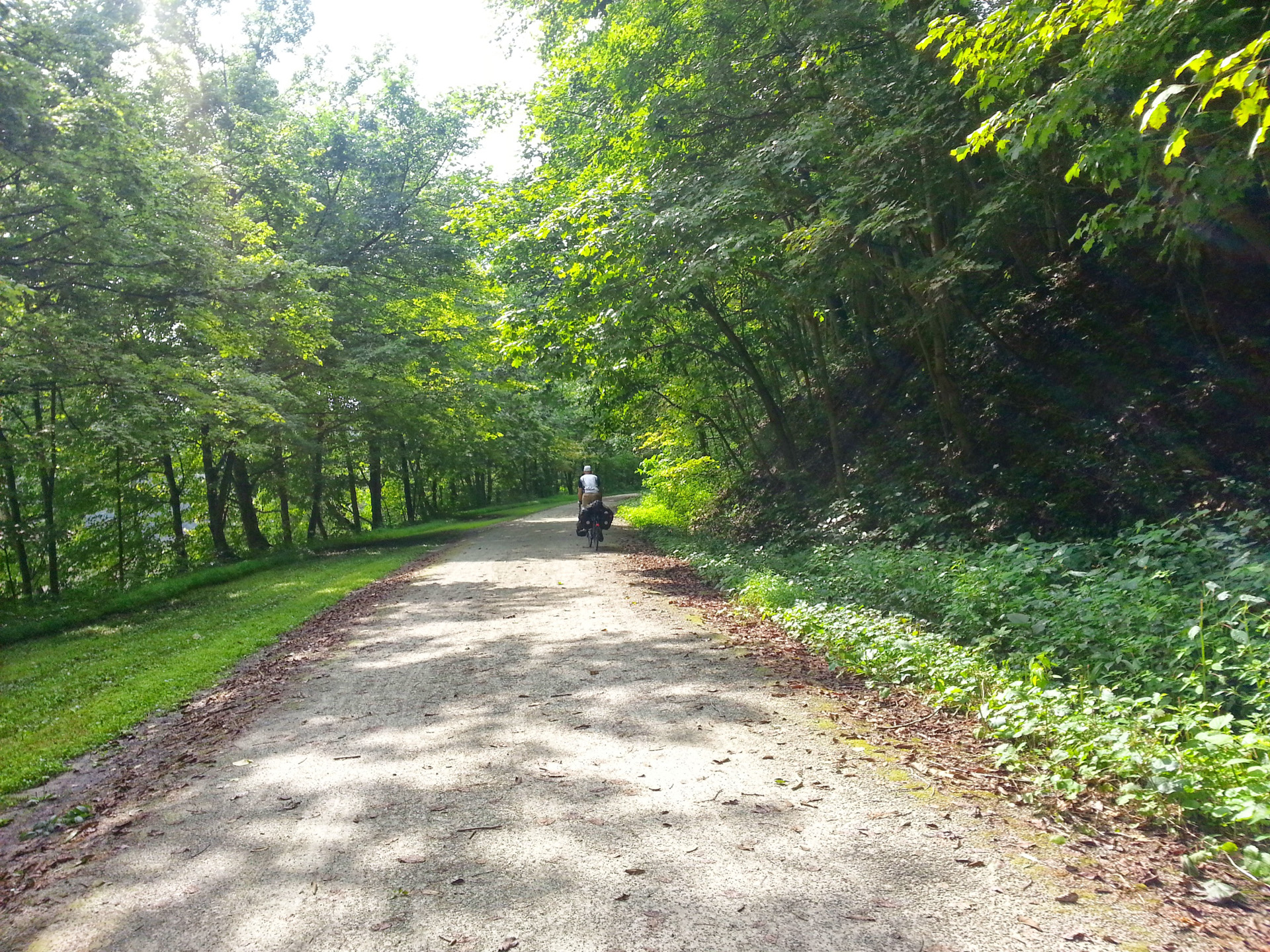
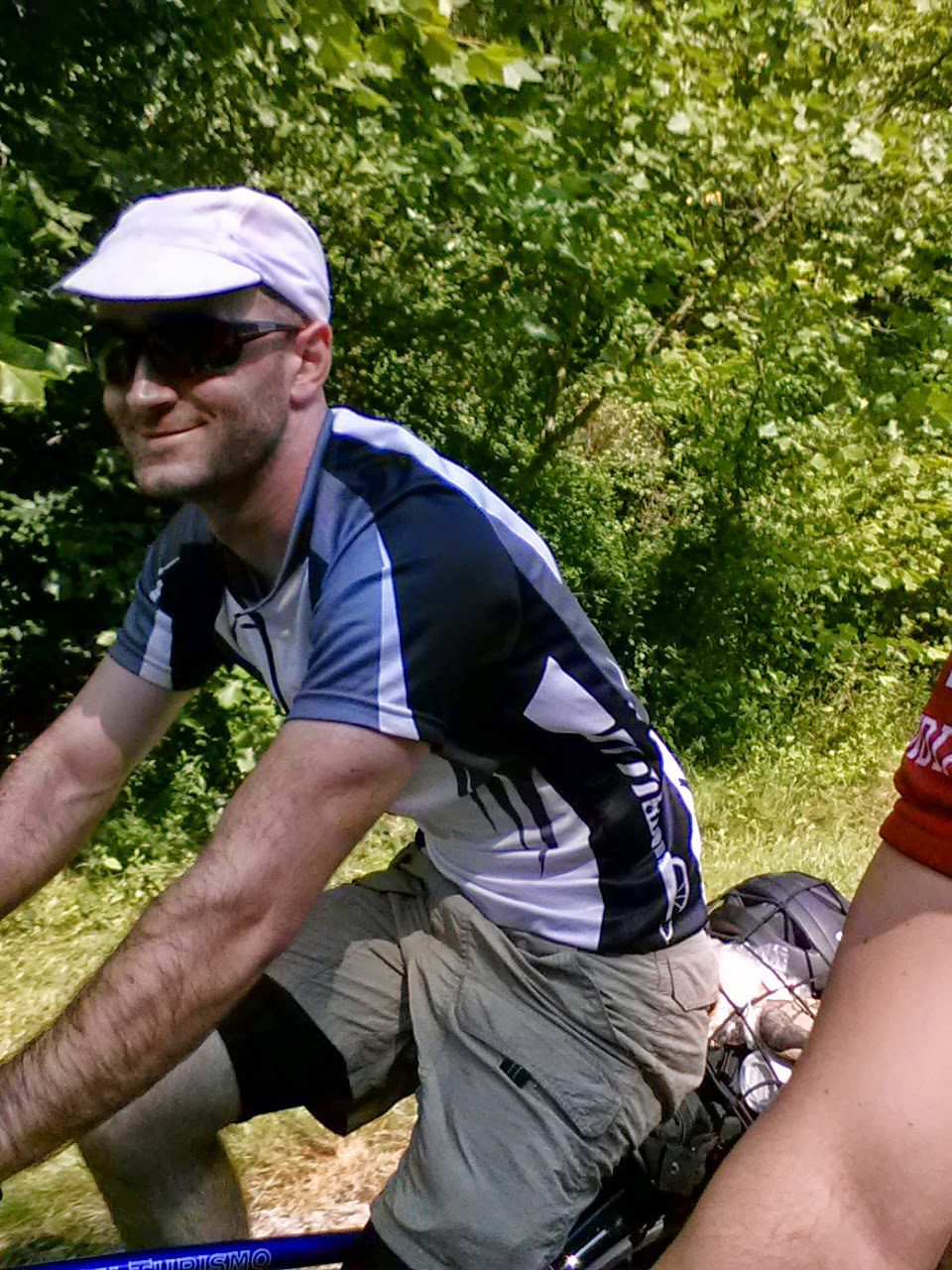
Day 1 — Starting the ride
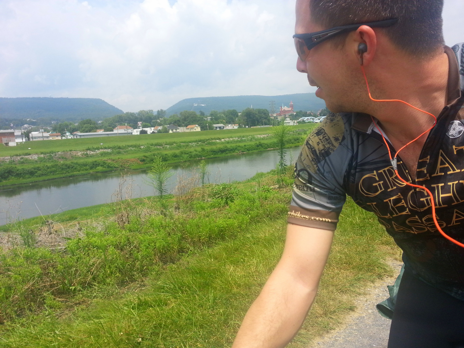
From downtown Pittsburgh to the outskirts
Distance: 41.30mi
Duration: 3h:33m:10s (rolling)
Unfortunately my GPS Map Data for this day seems to have been lost. Below is an approximation of the route drawn up on Google Maps.
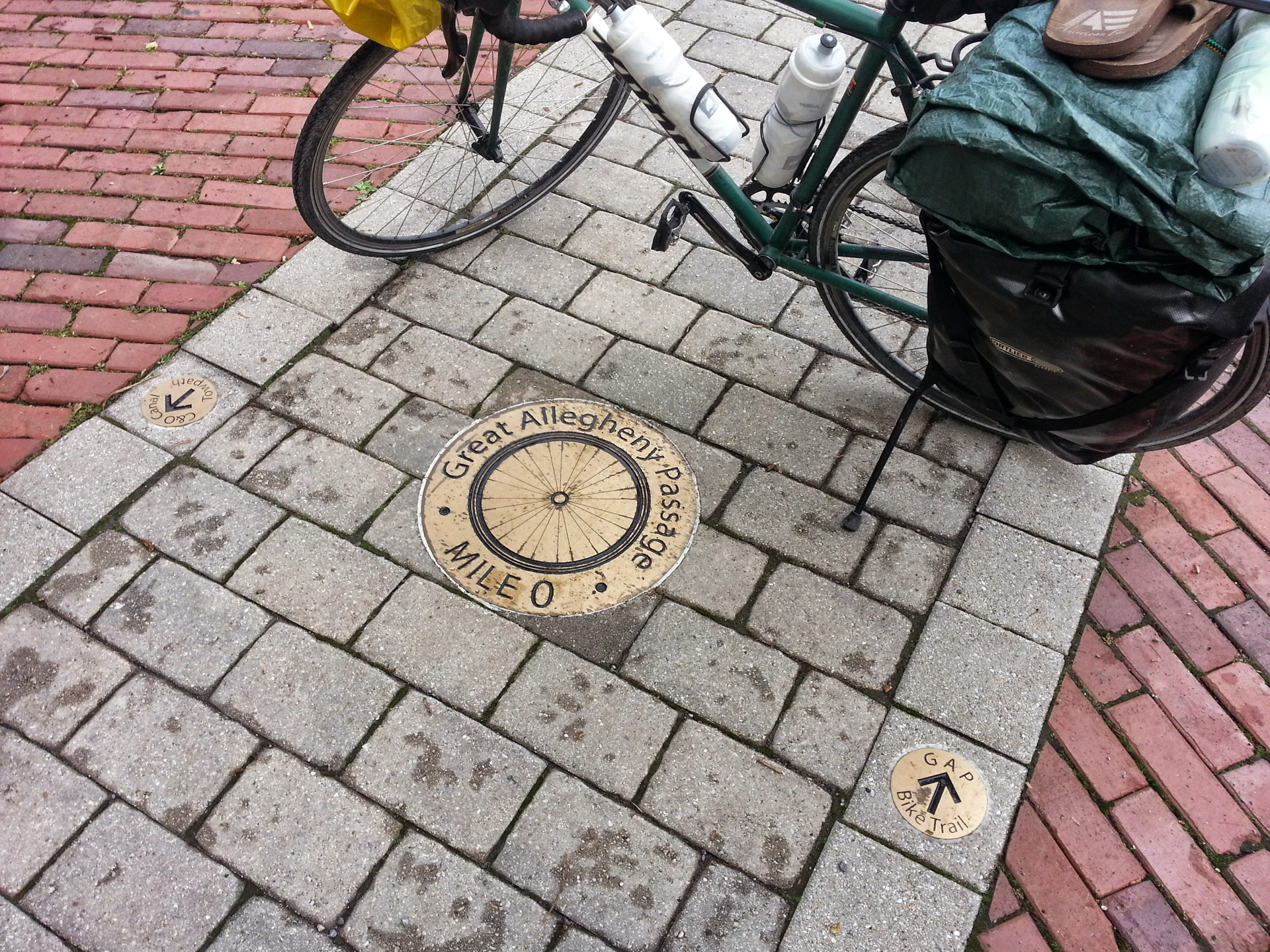
Below is mile zero of the Great Allegheny Passage, located near downtown Pittsburgh.
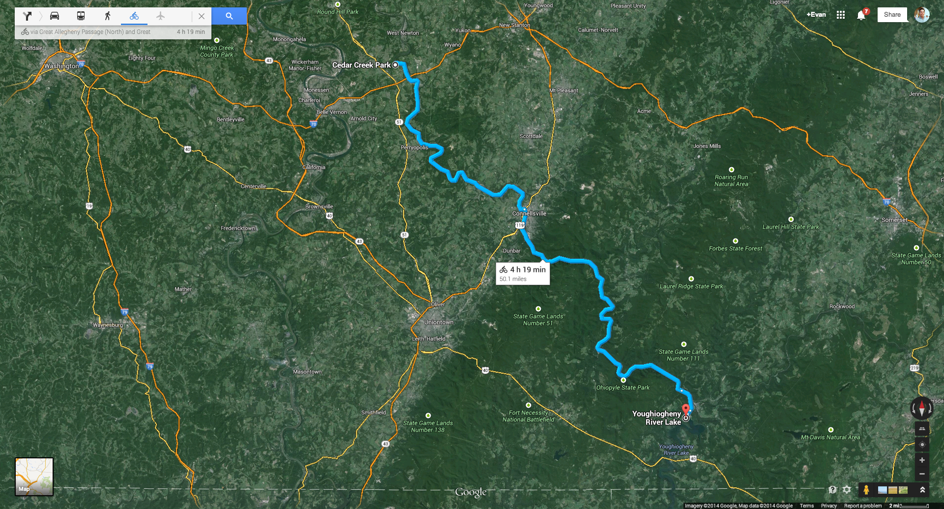
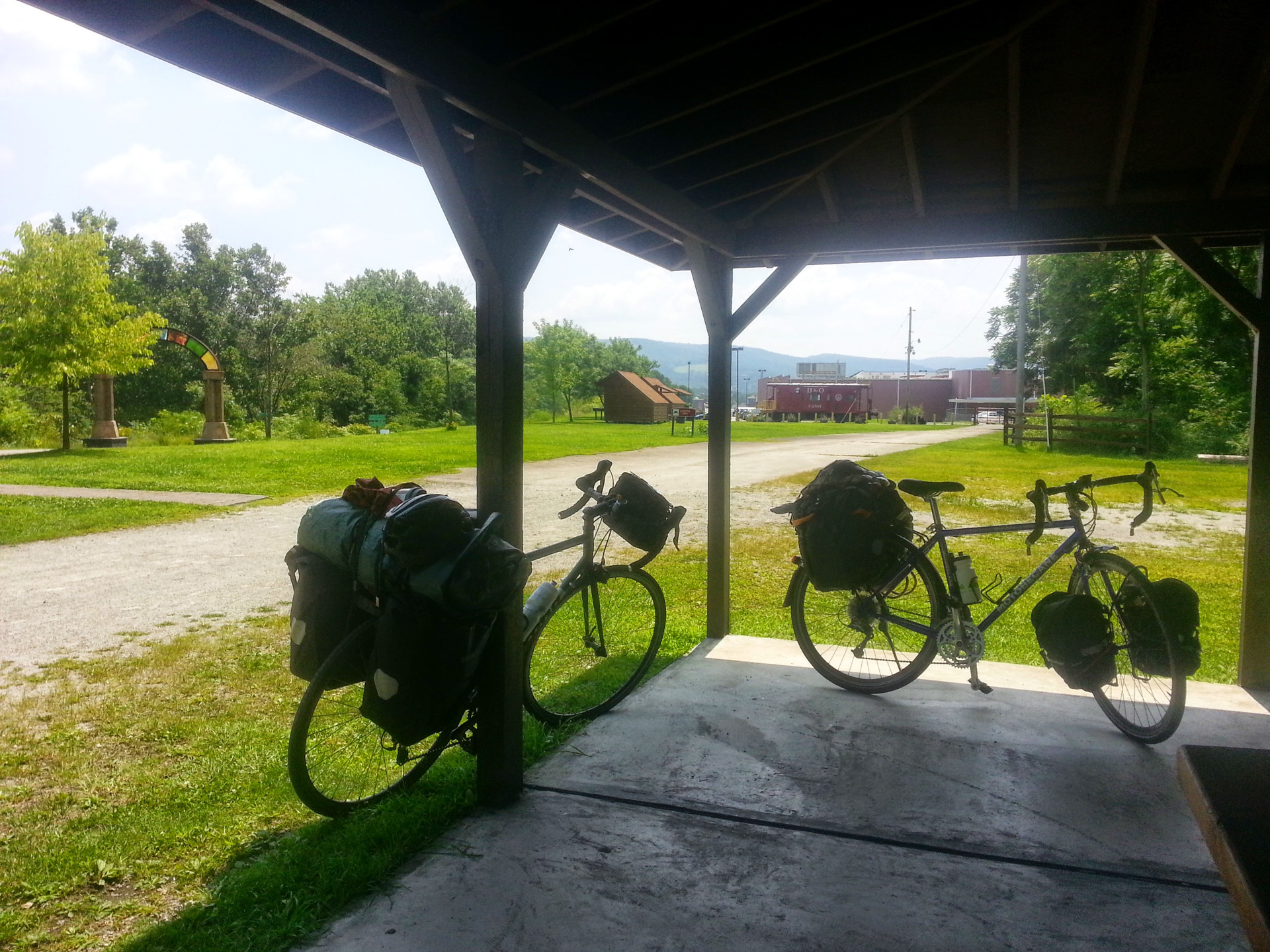
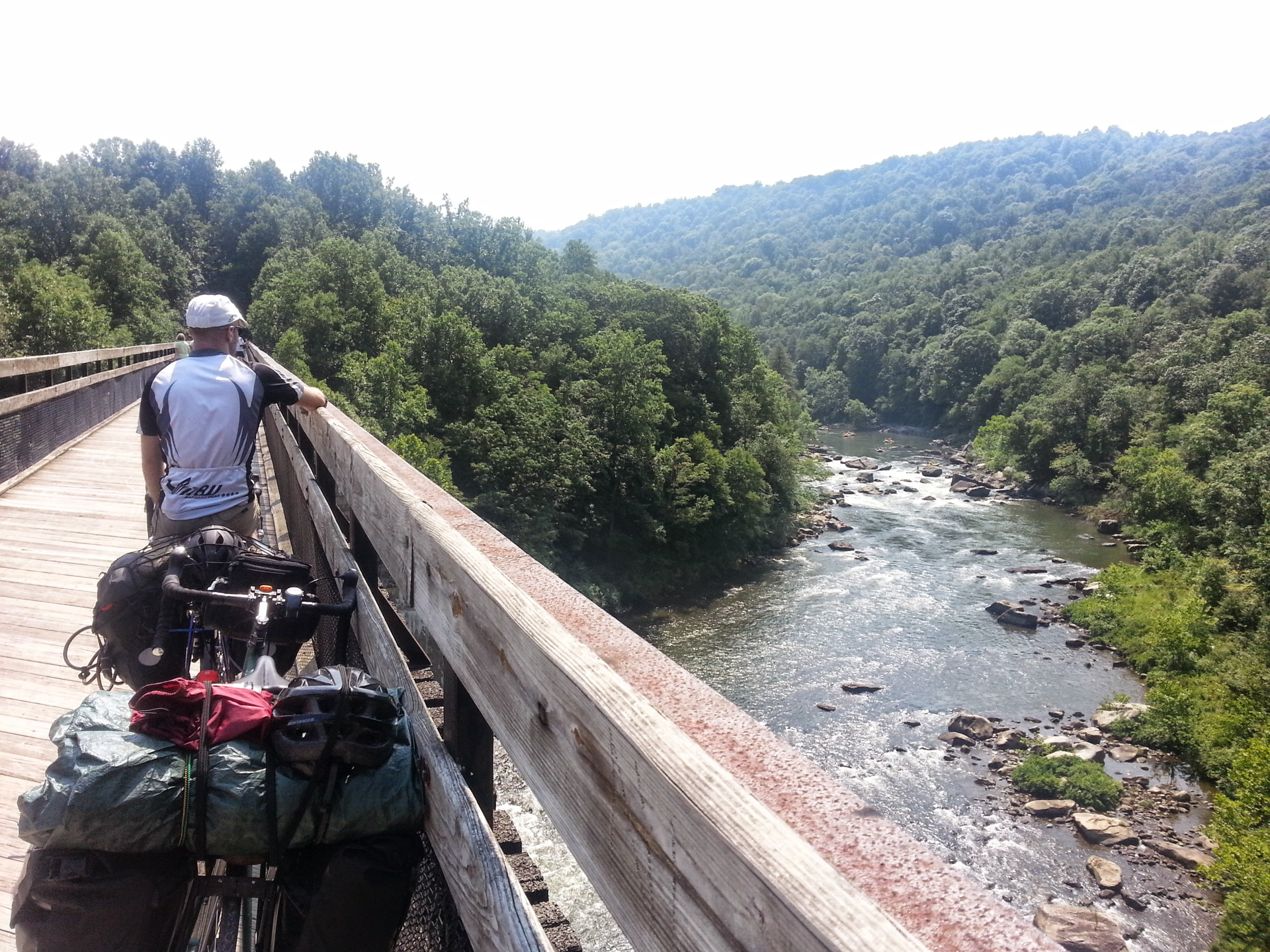
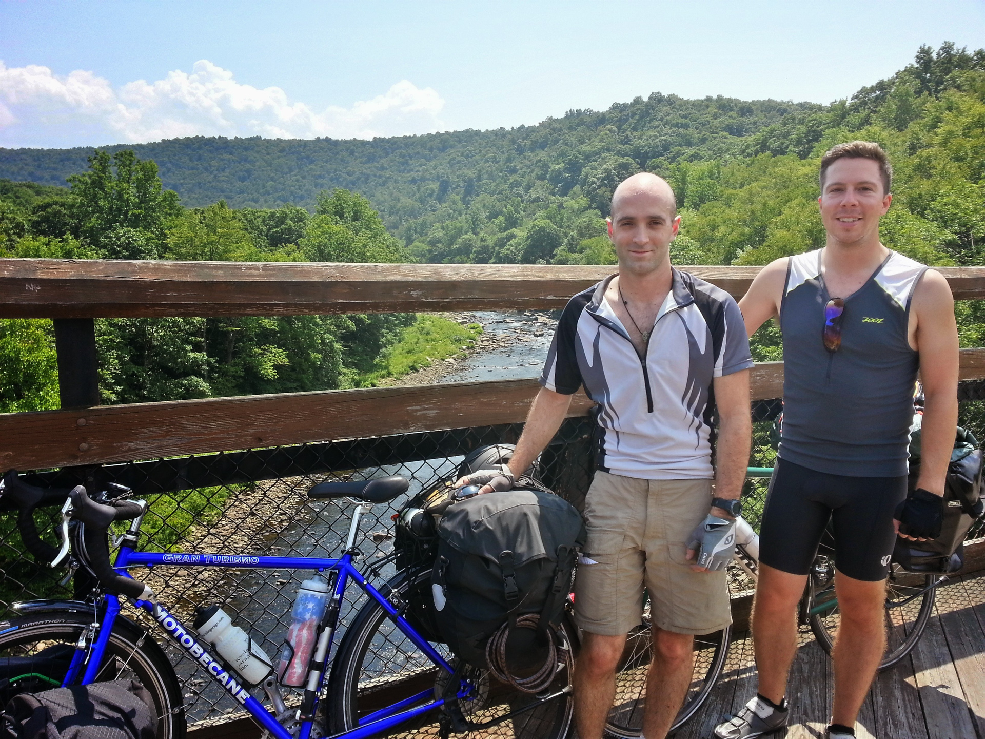
Day 2 — Outside Pittsburgh to Confluence, PA
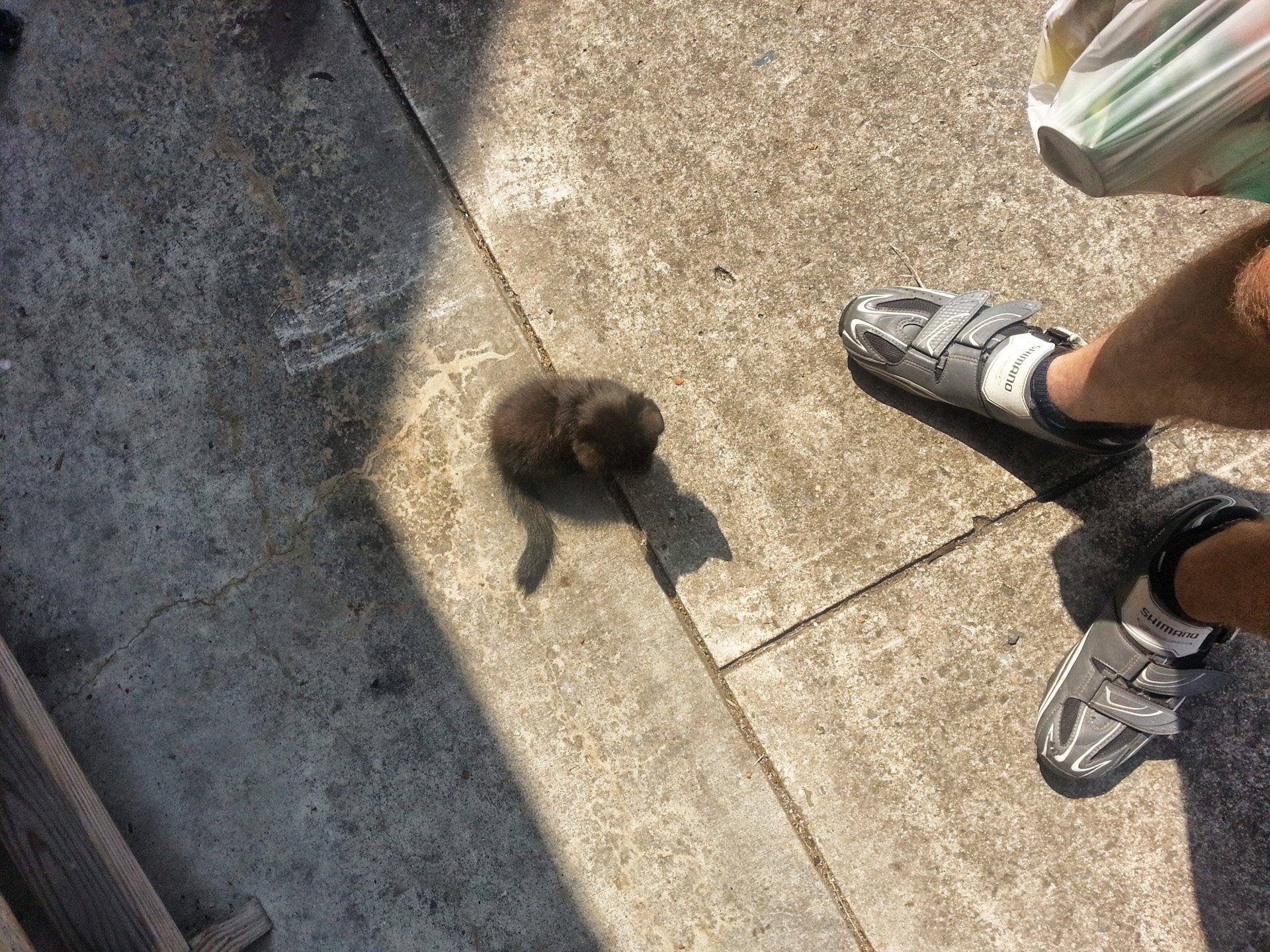
With a stop at Ohiopyle along the way.
Distance: 47.81mi
Duration: 3h:48m:14s (rolling)
Unfortunately my GPS Map Data for this day seems to have been lost. Below is an approximation of the route drawn up on Google Maps. The distance and time are not accurate.
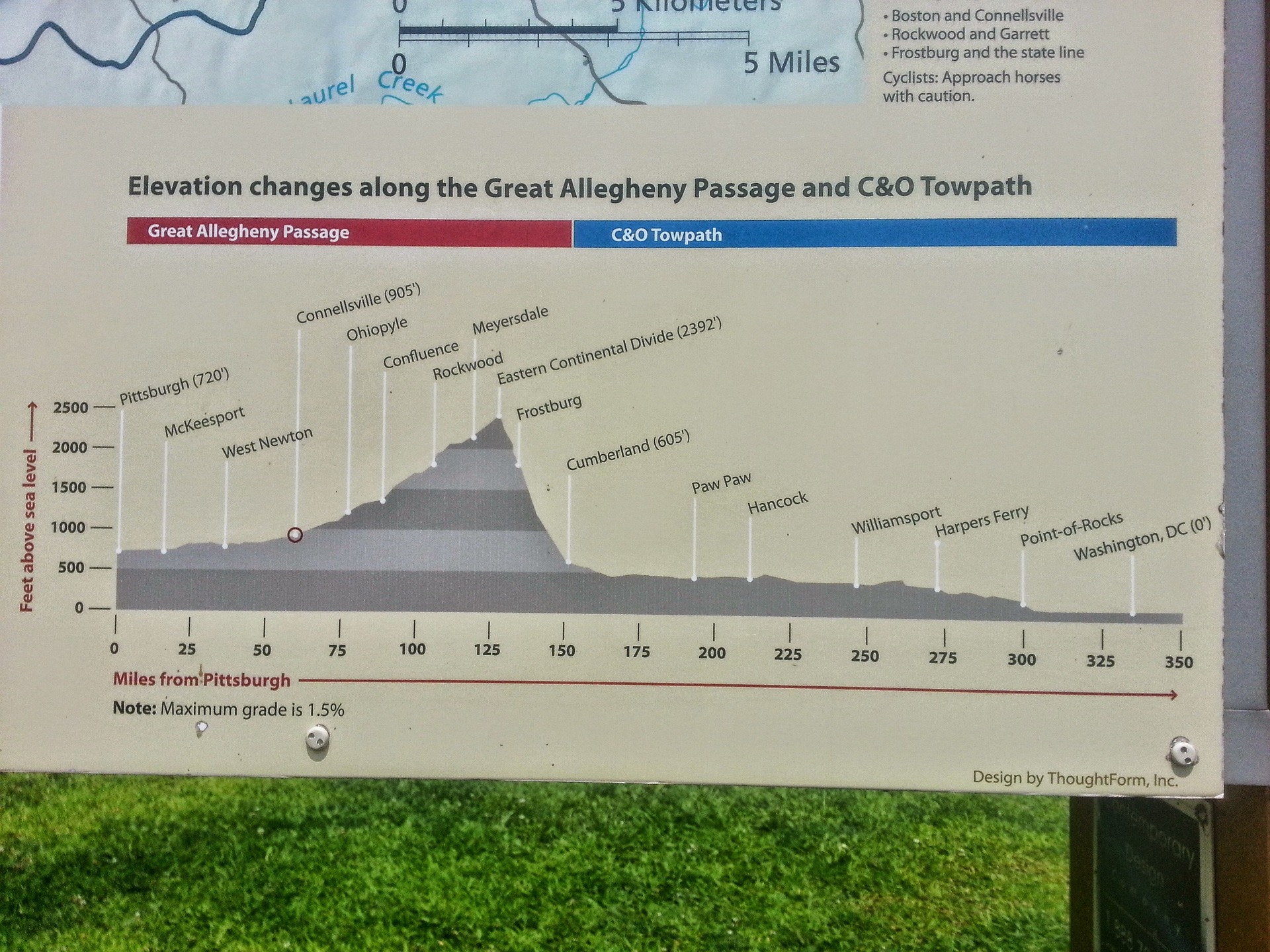
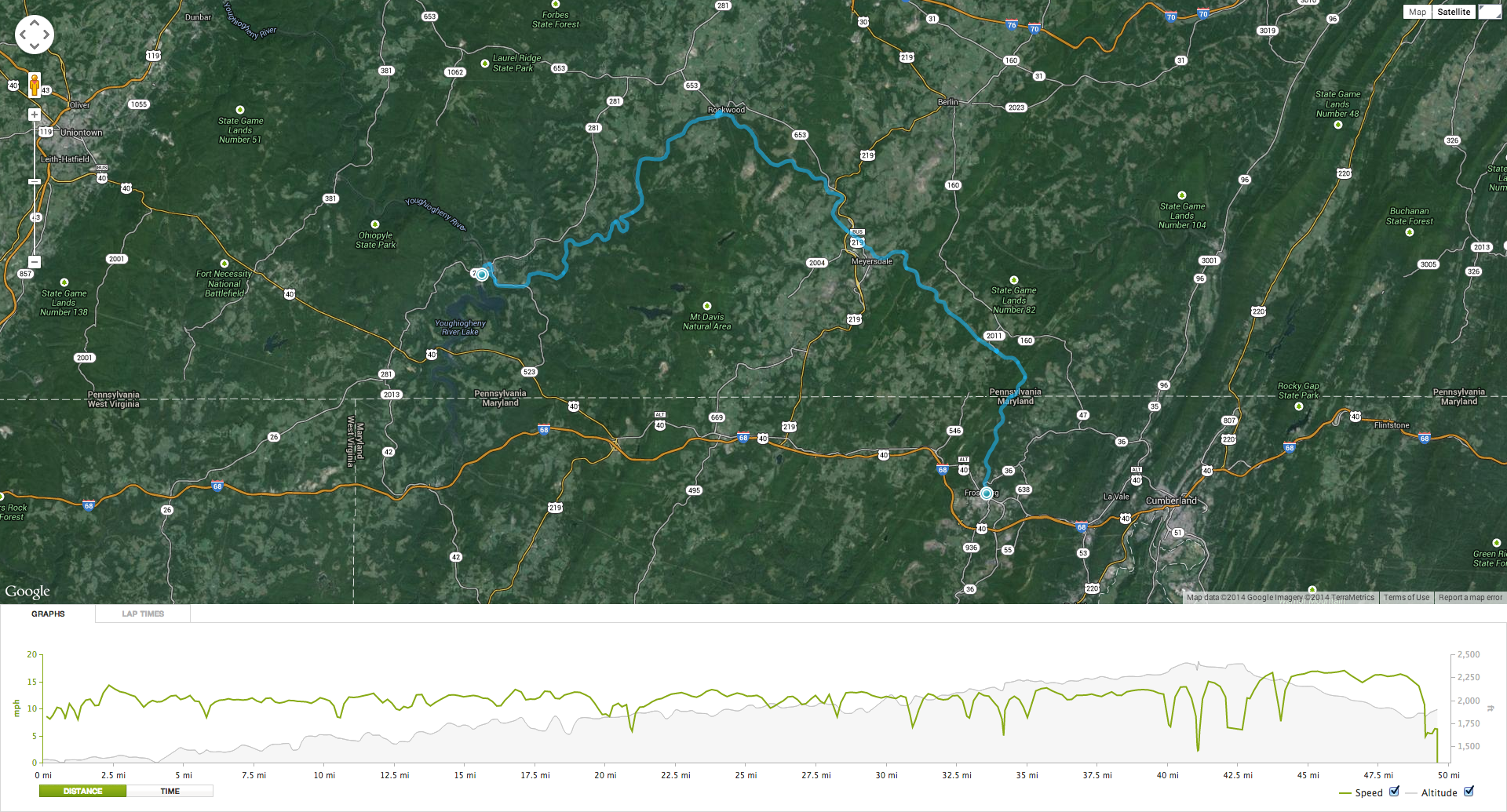
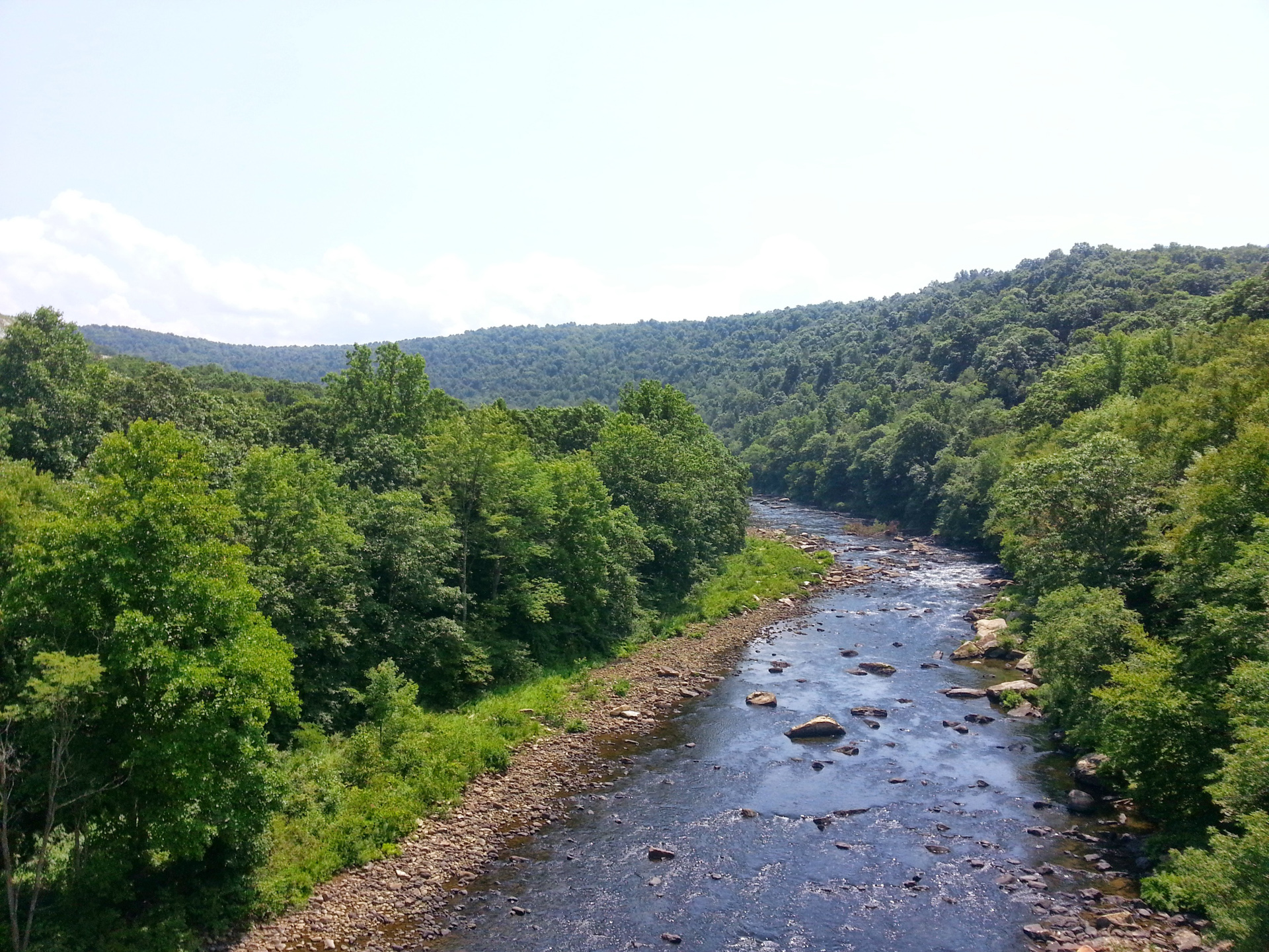
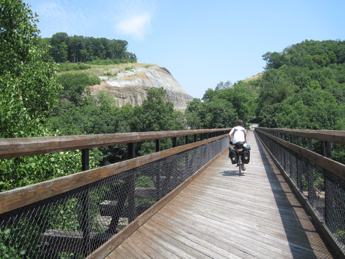
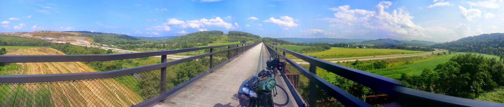
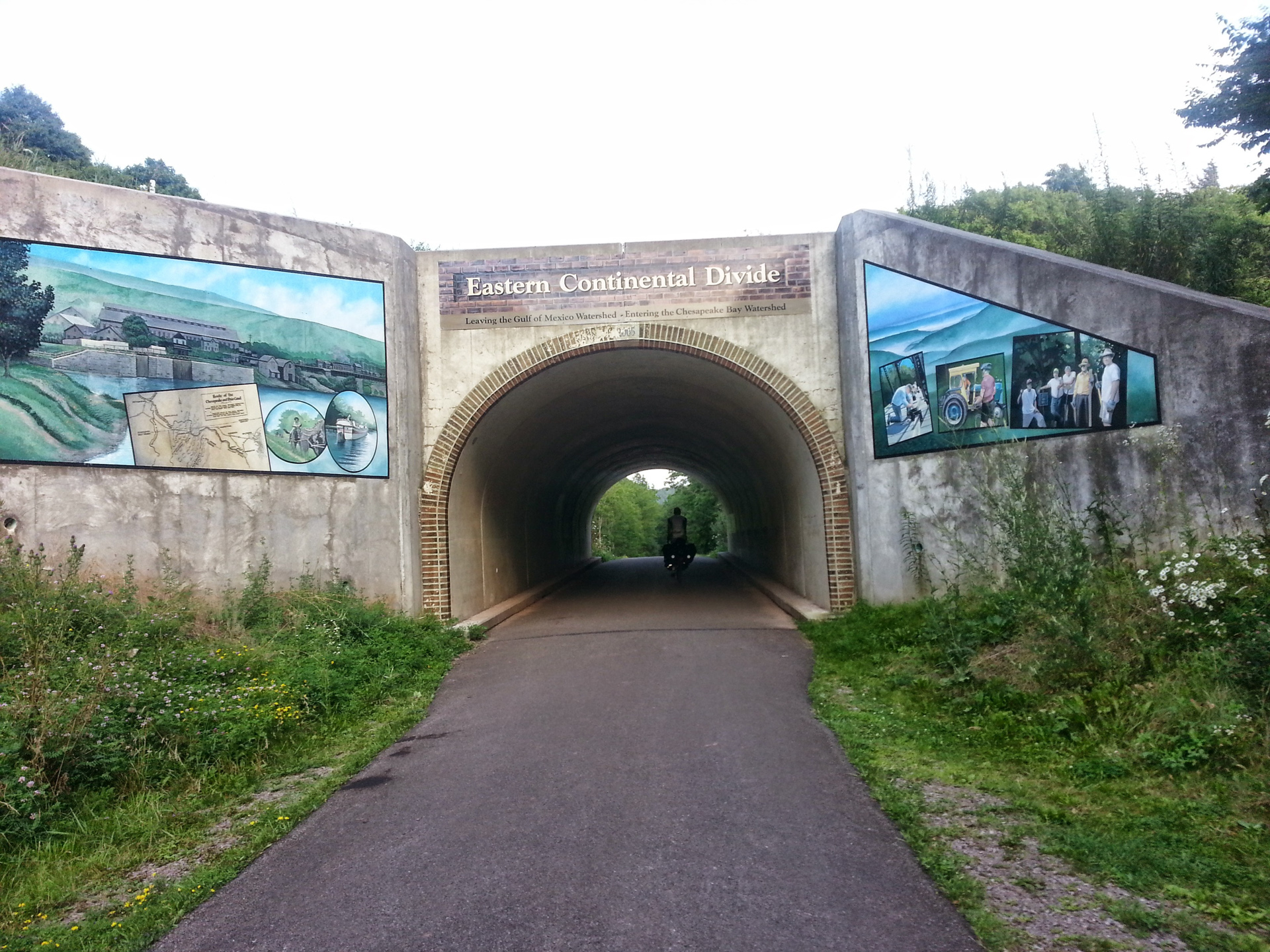
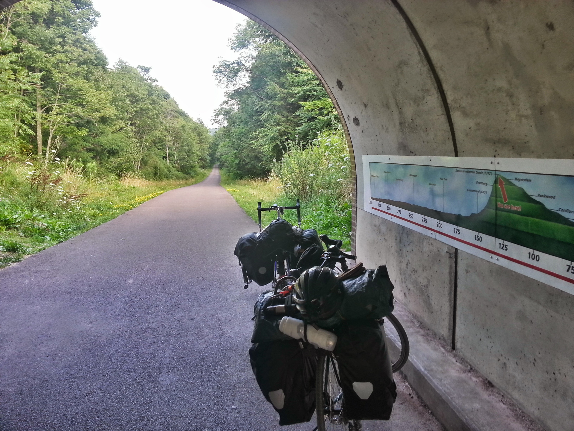
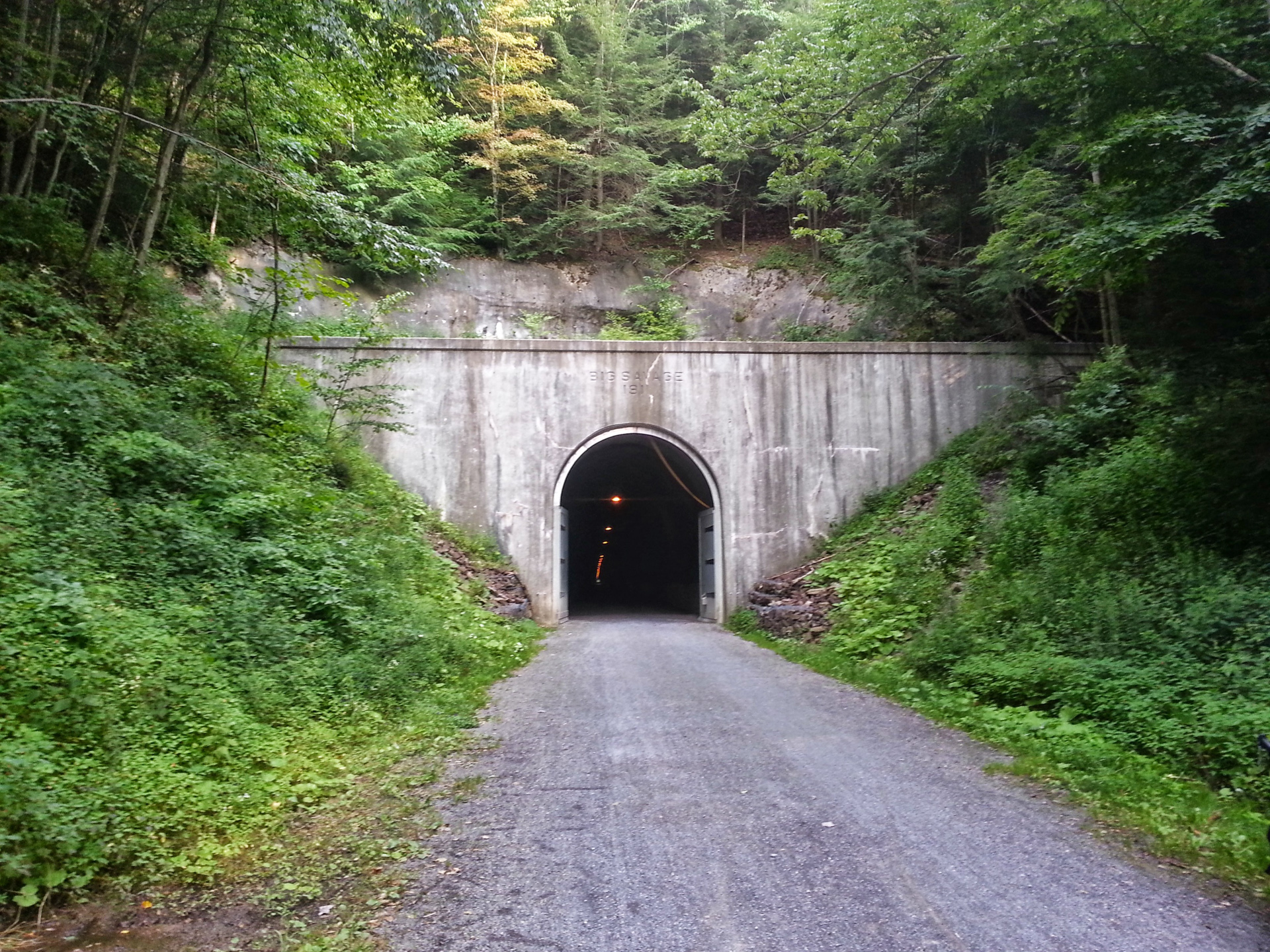
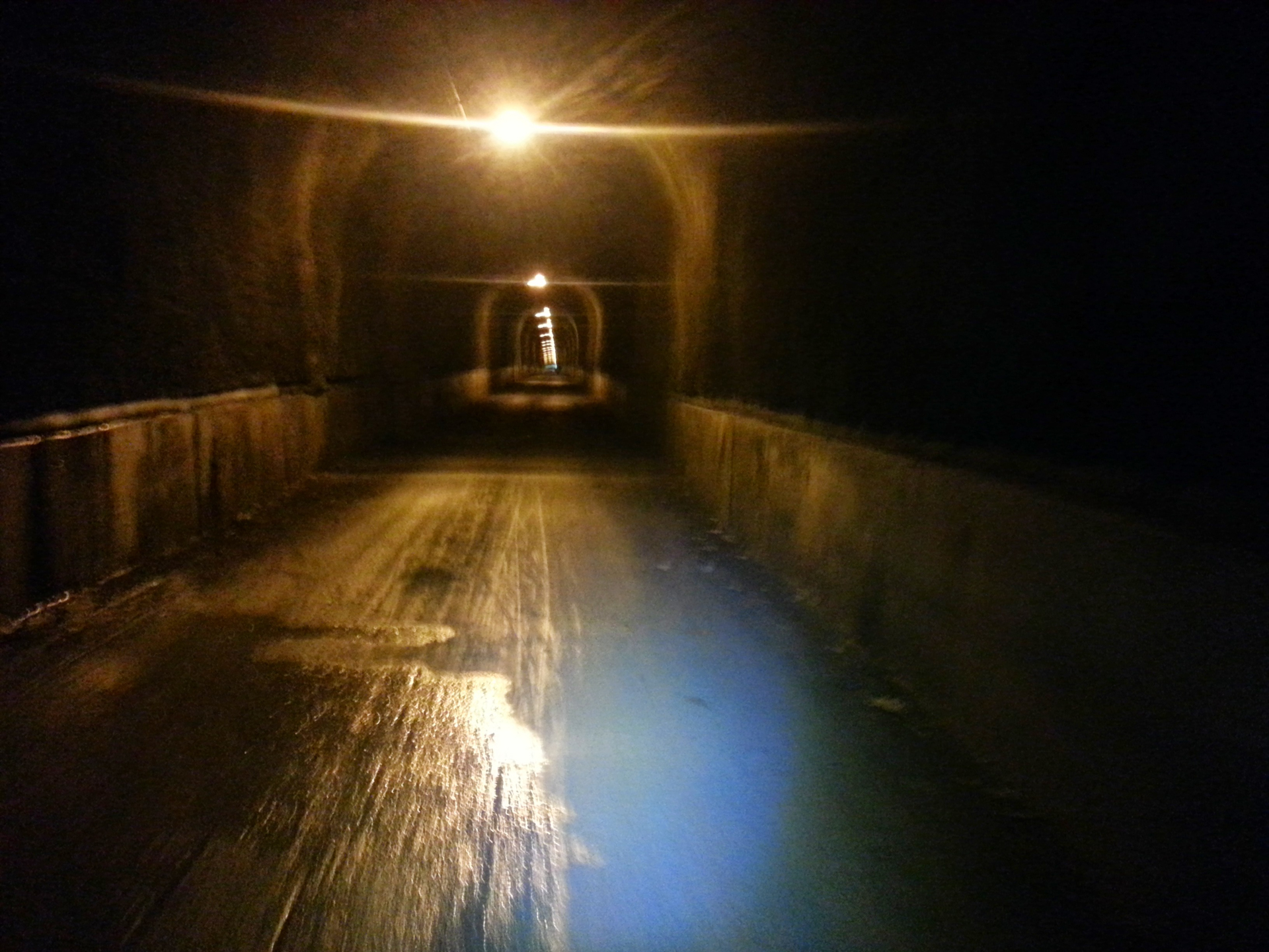
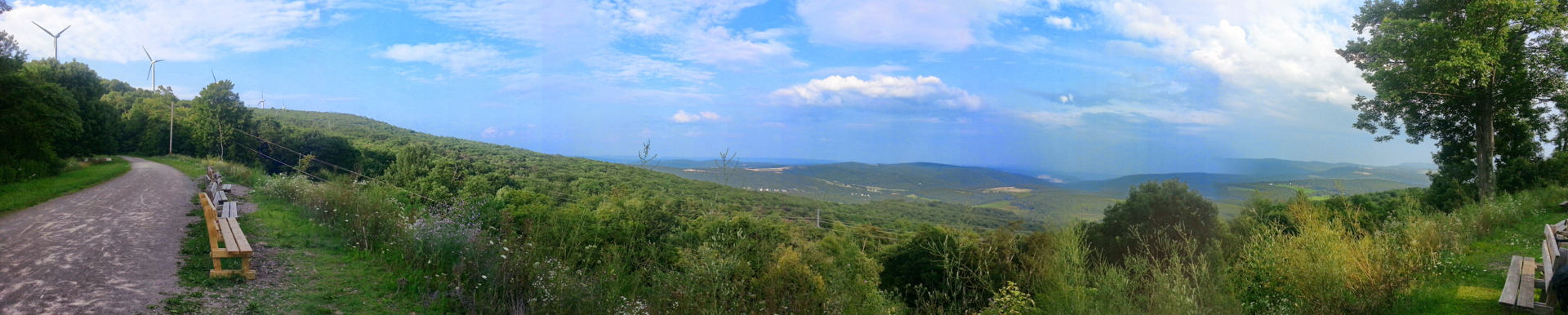
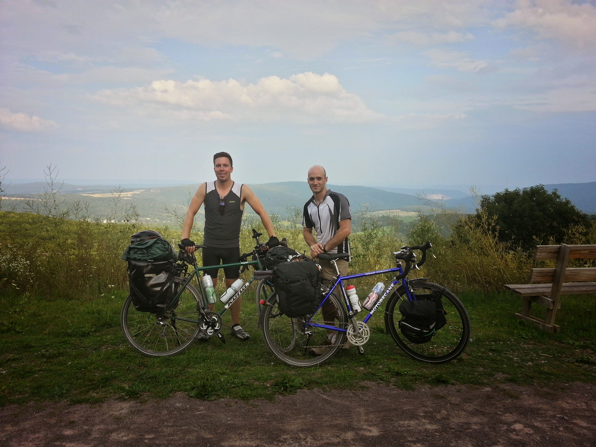
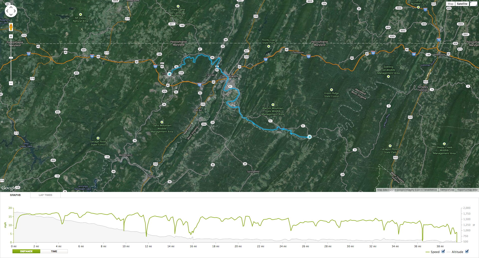
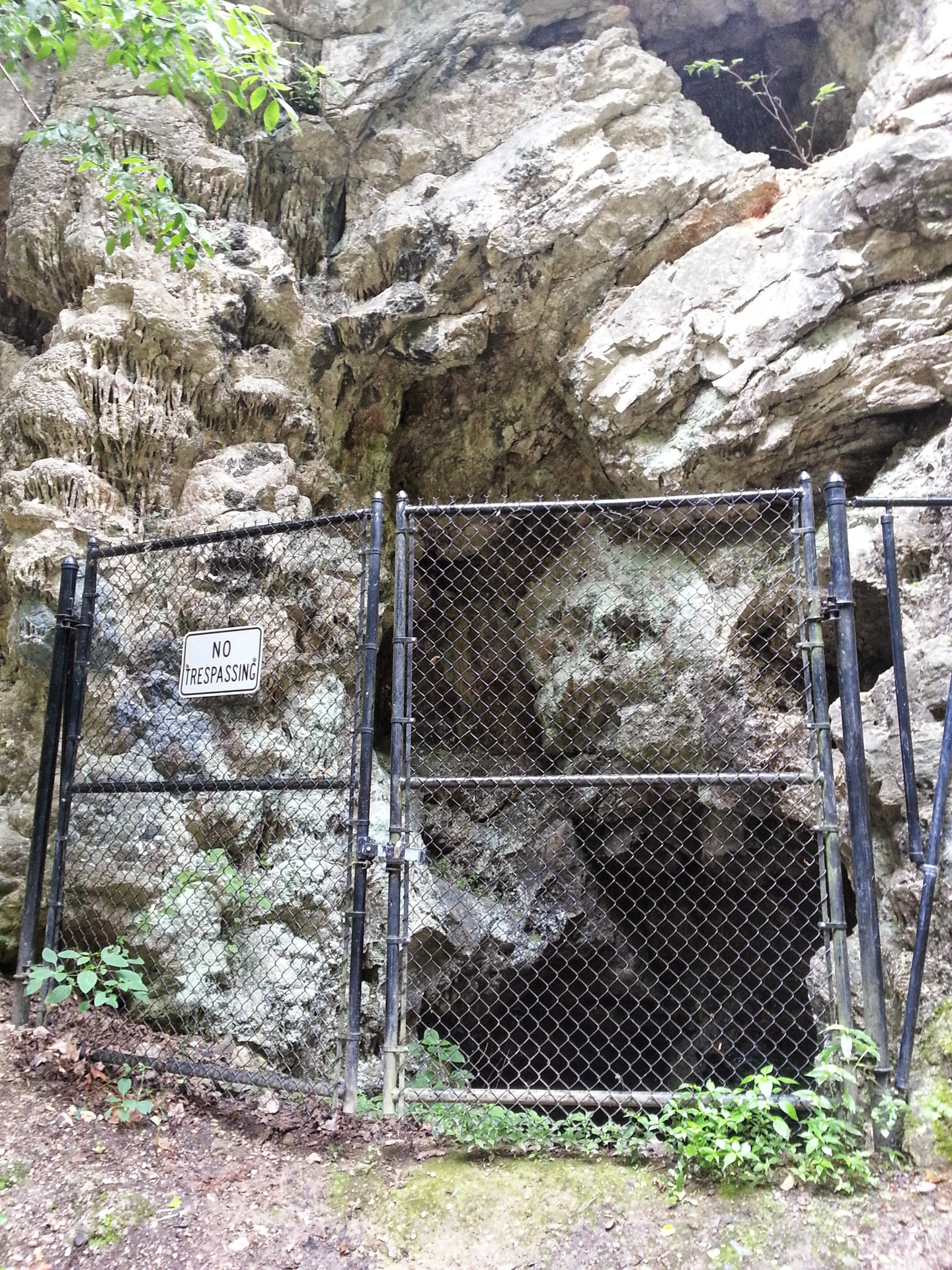
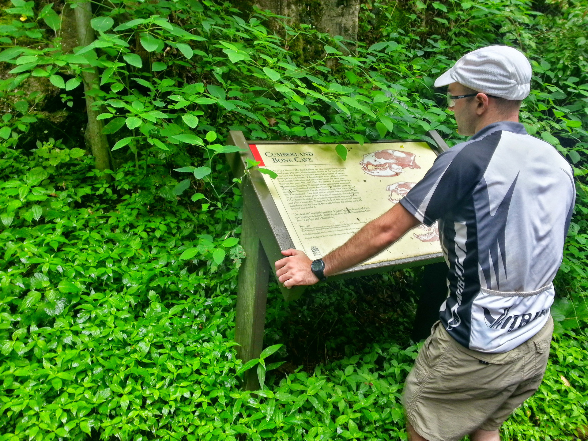
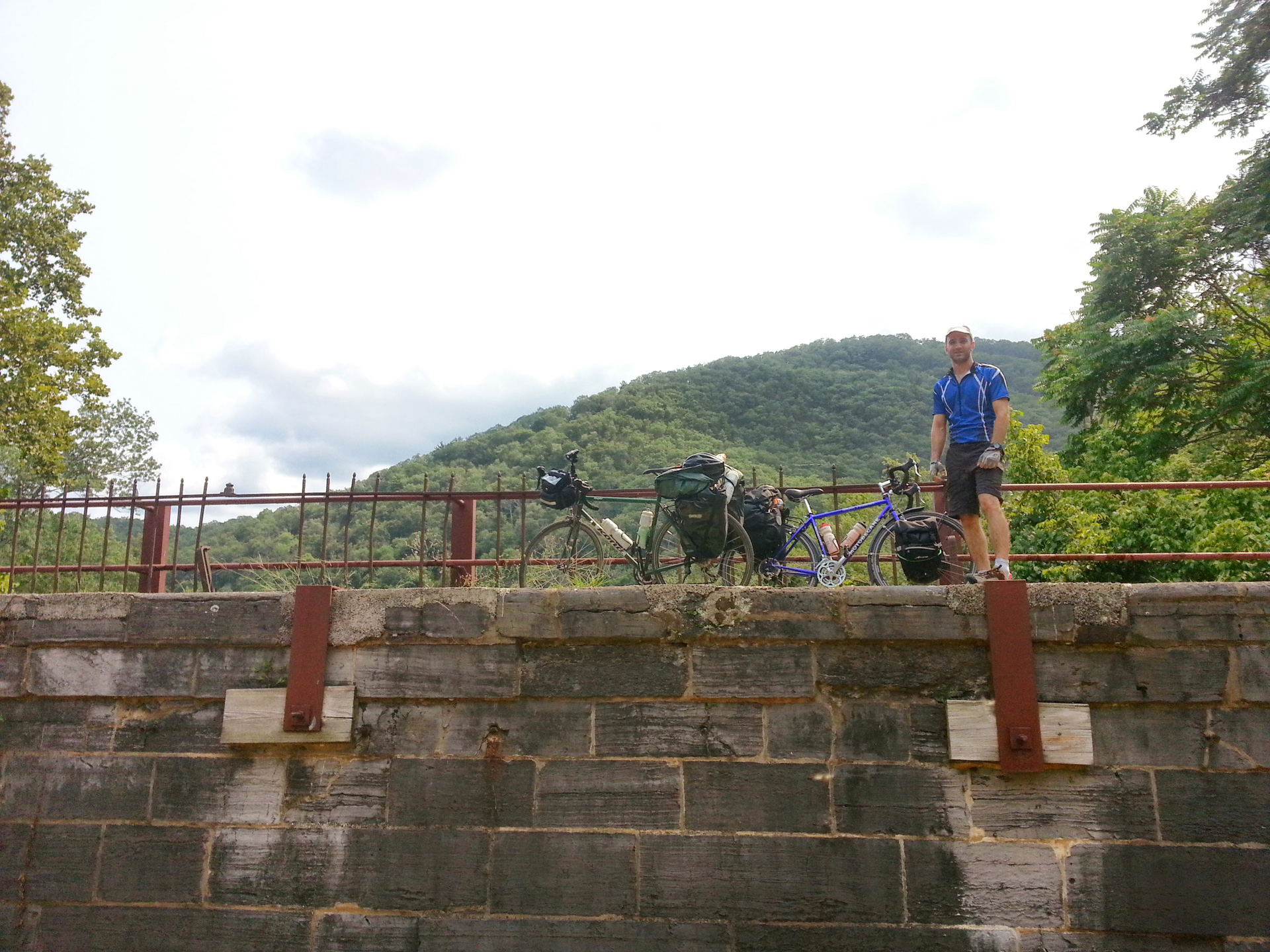
Day 3 — Confluence to Frostburg
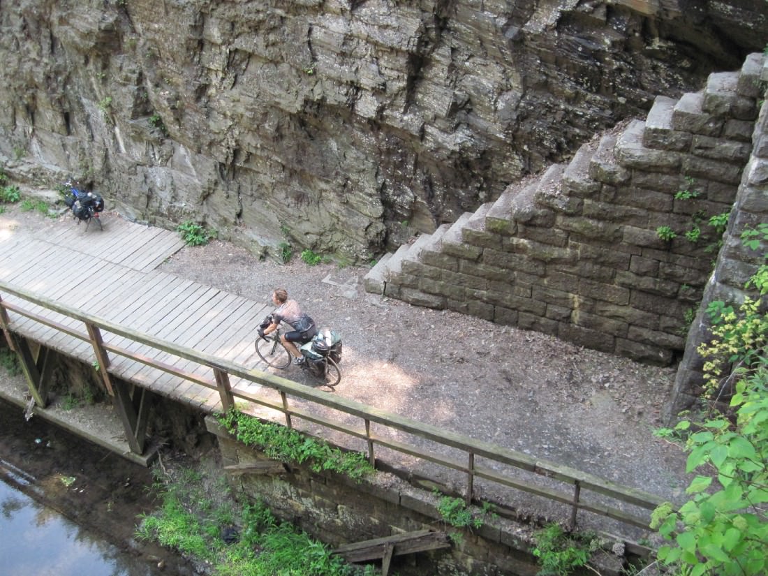
All uphill, all day
Distance: 49.59mi
Duration: 4h:14m:55s (rolling)
Total Ascent: 5633ft
Total Descent: 5545ft
View on Endomondo
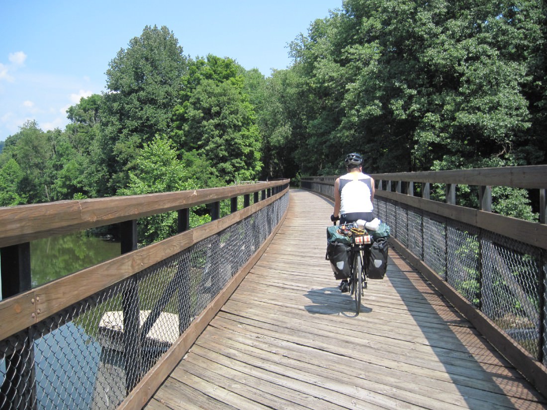
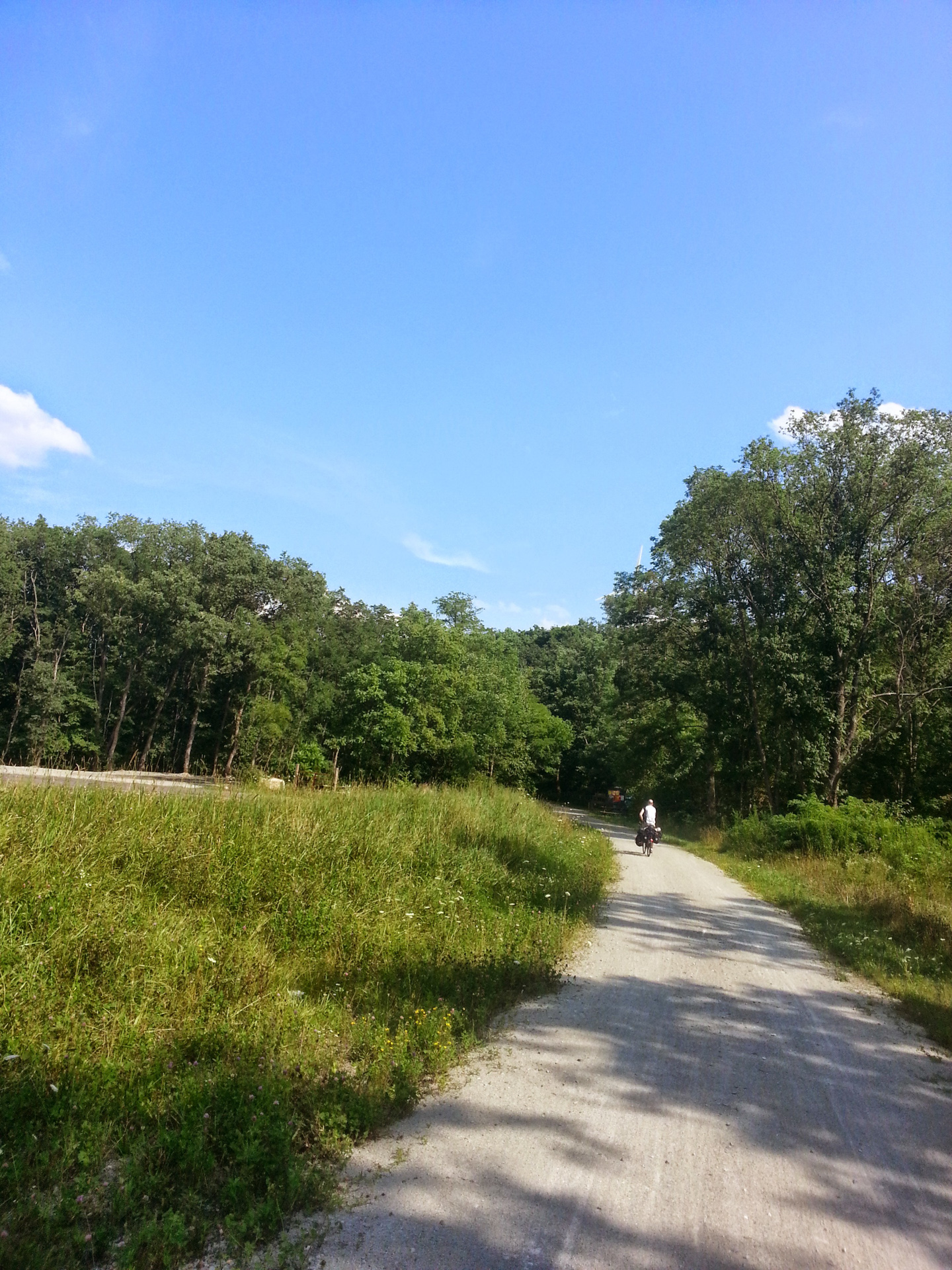
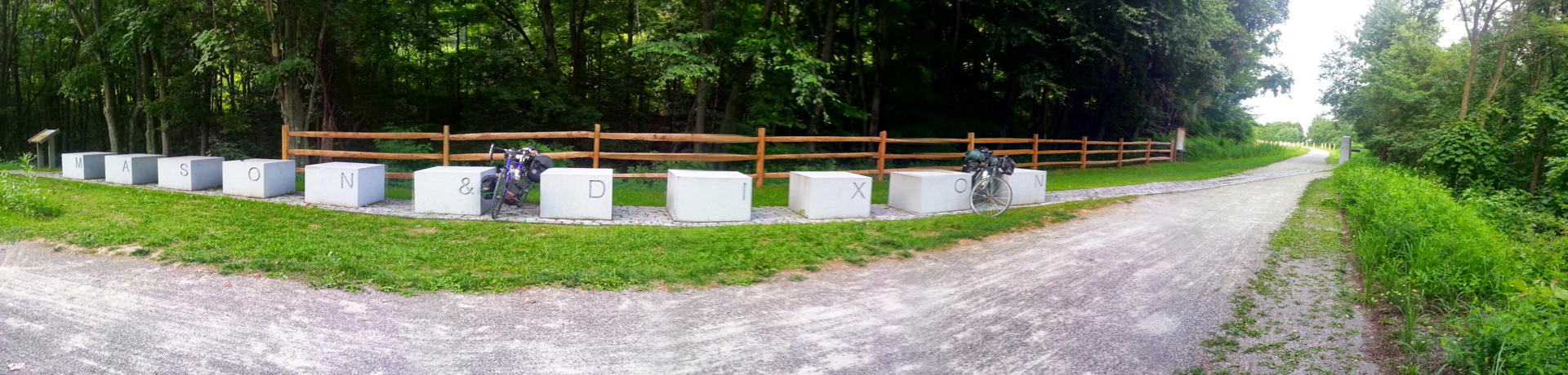
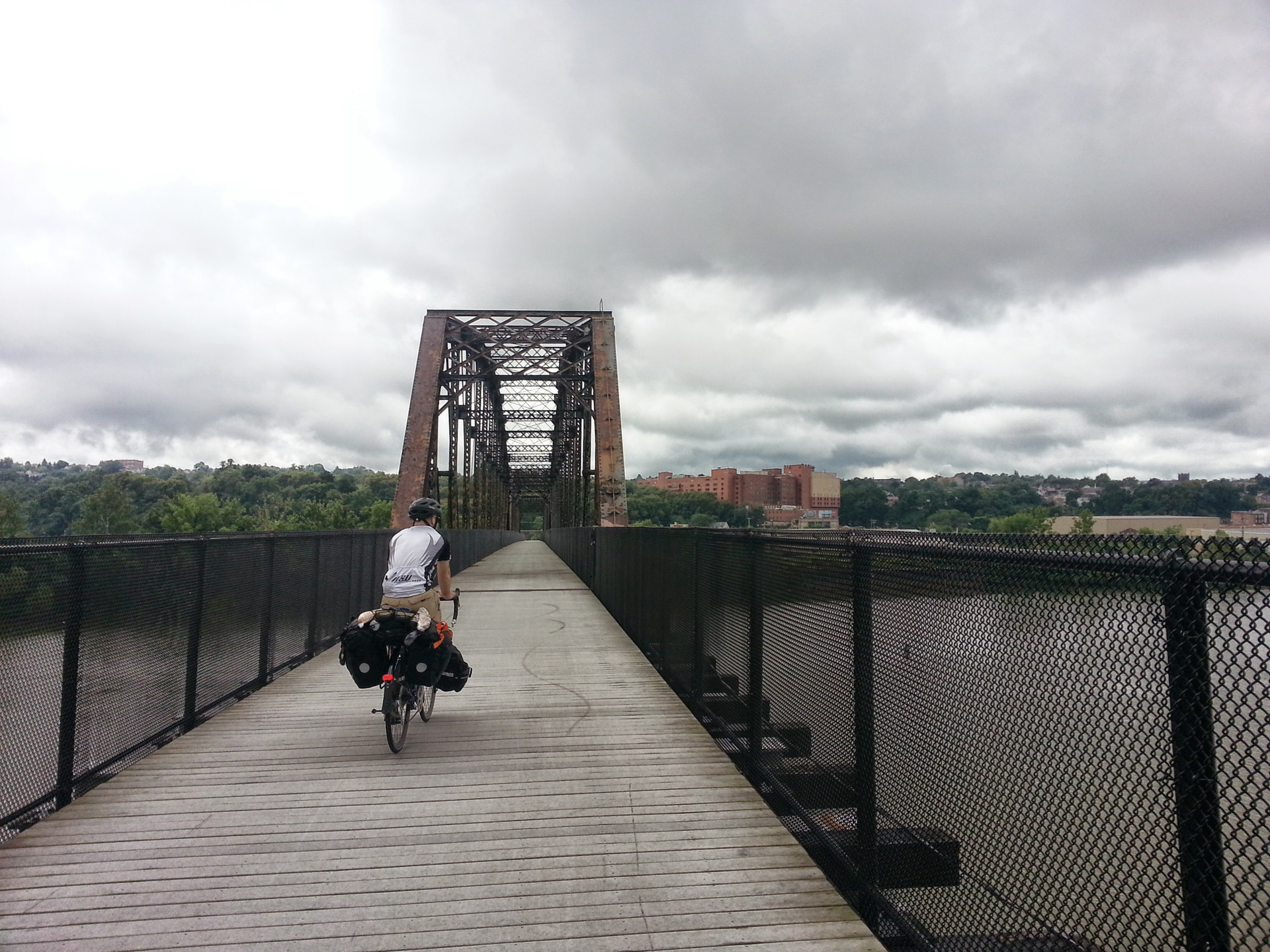
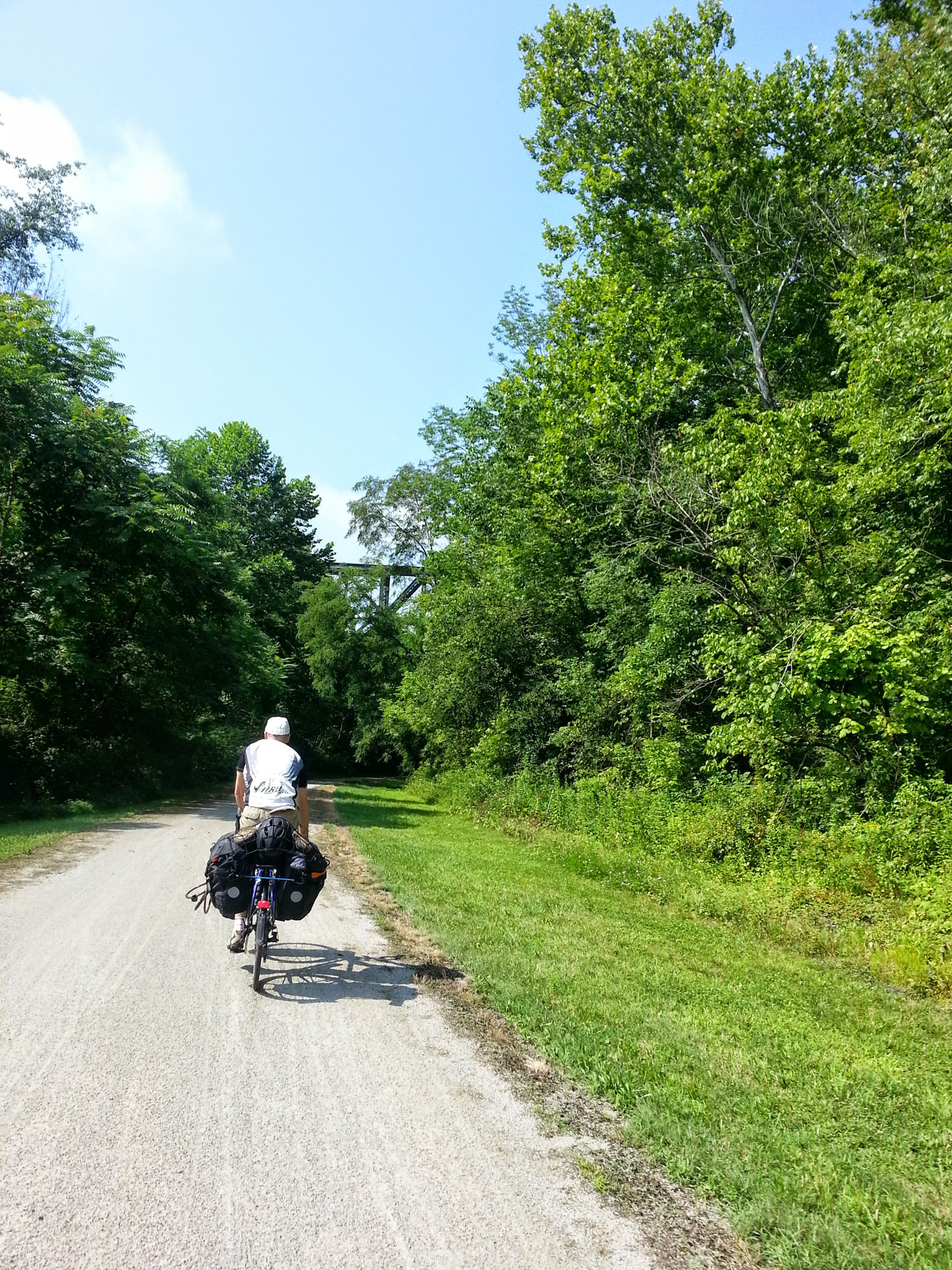
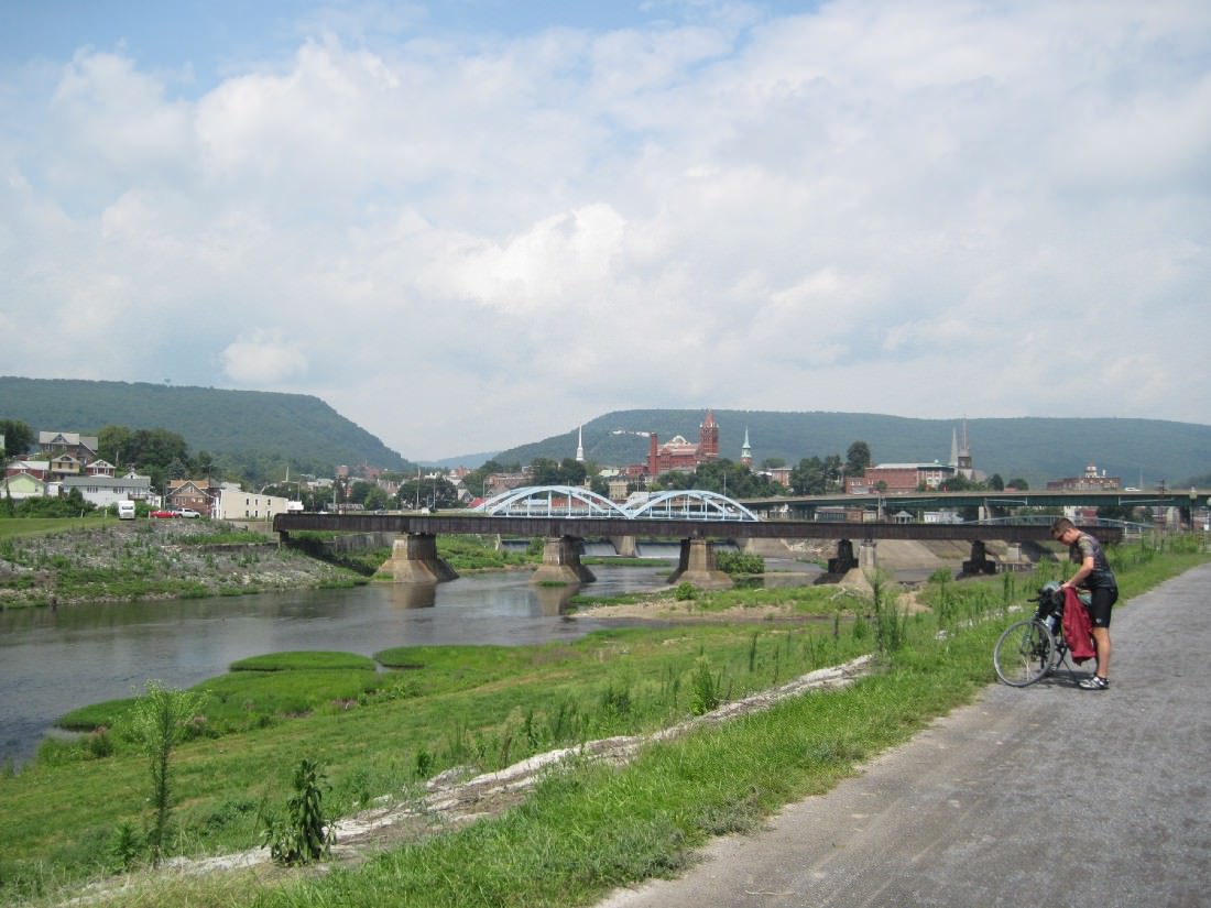
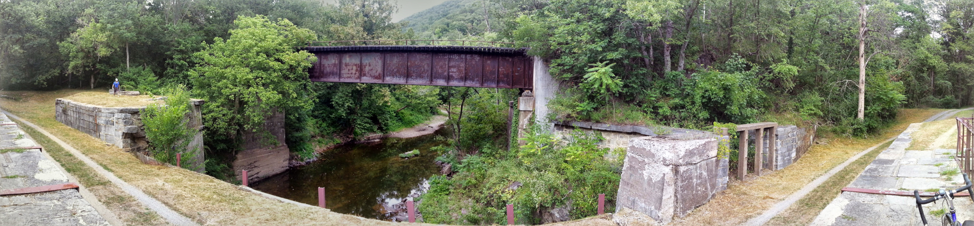
Day 4 — Completing the GAP, C&O Towpath Part 1
Frostburg to Cumberland, then the first leg of the C&O Towpath
Distance: 39.49mi
Duration: 3h:16m:42s (rolling)
Total Ascent: 1817ft
Total Descent: 3200ft
View on Endomondo

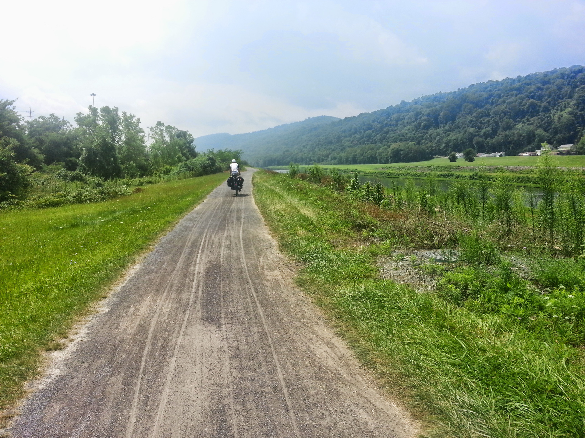
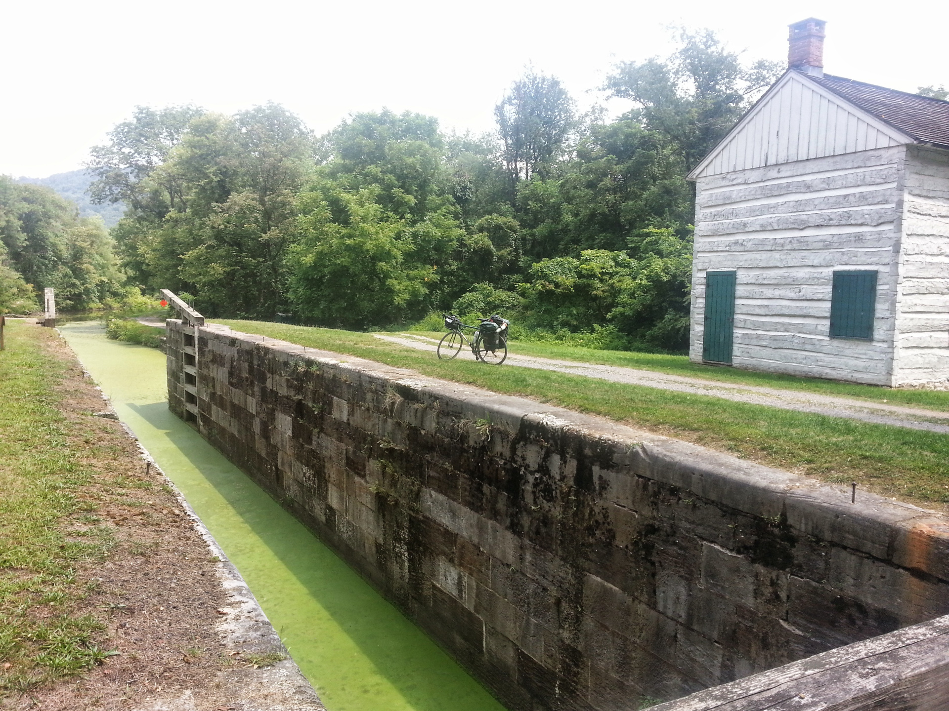

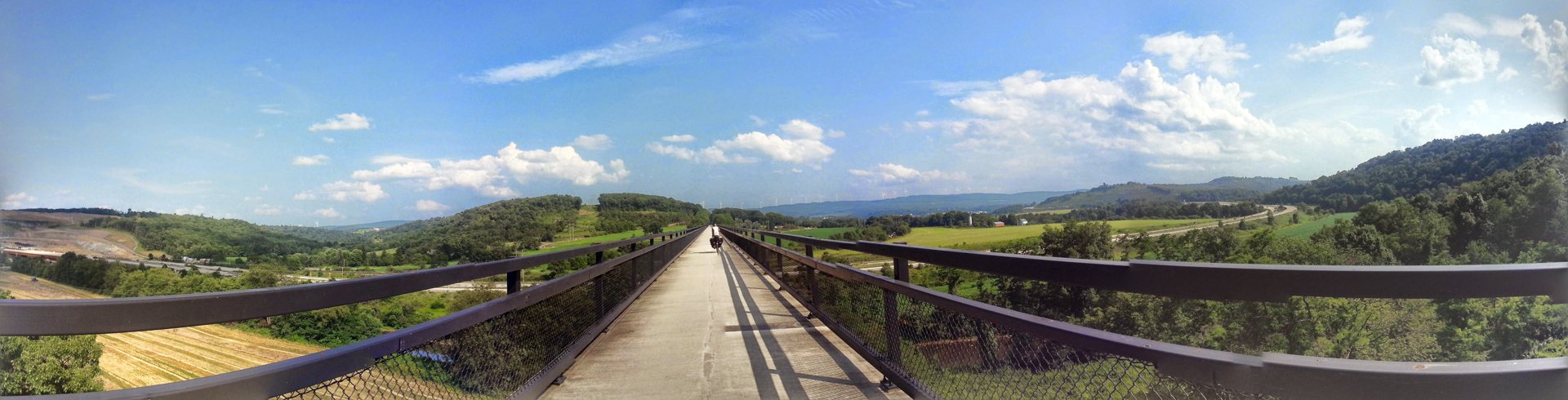
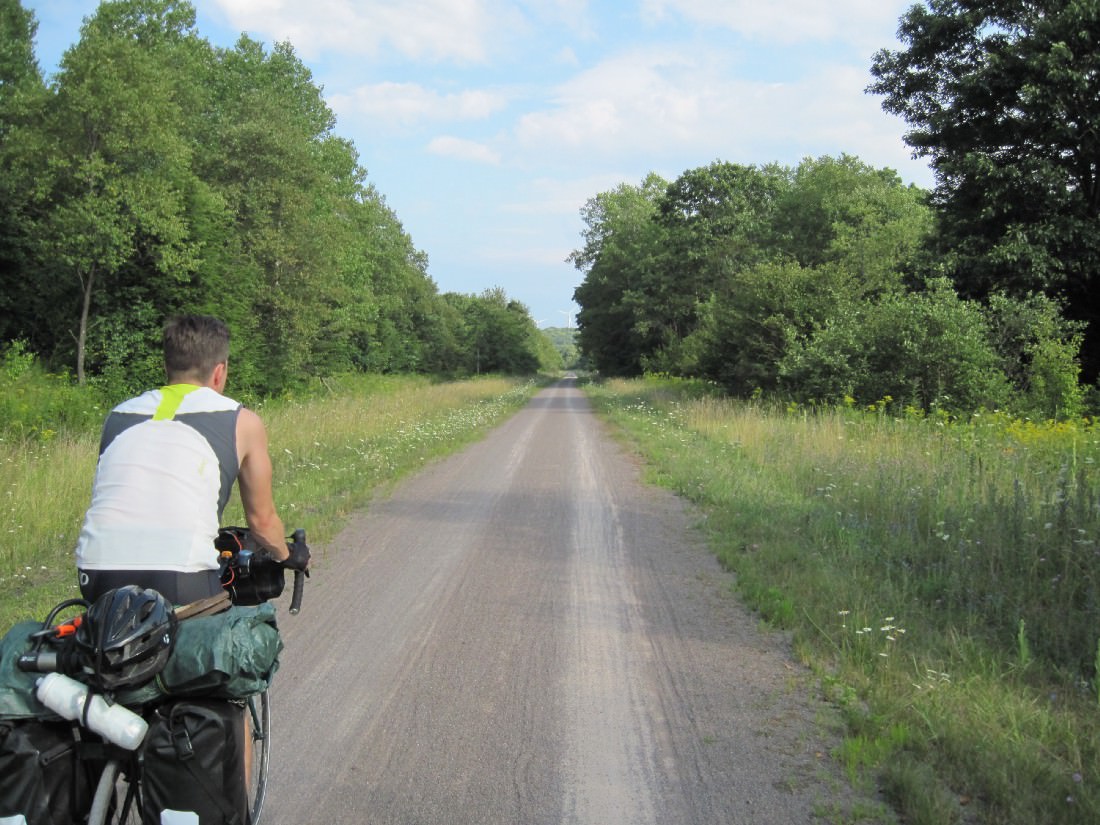
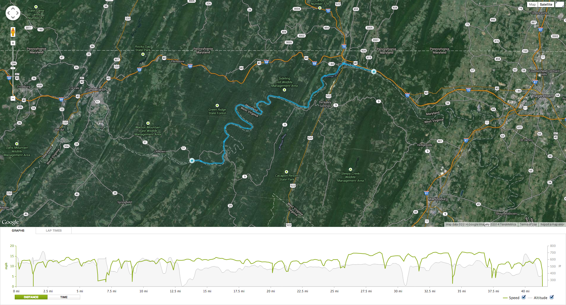
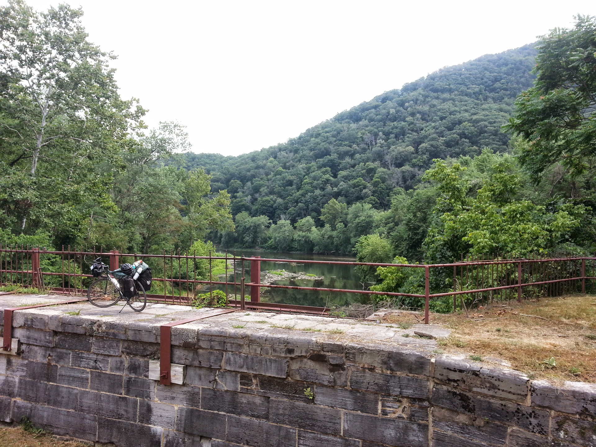
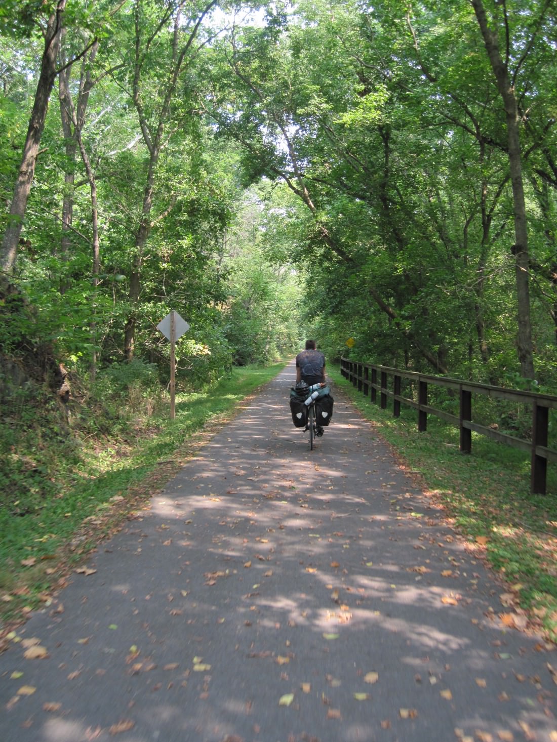
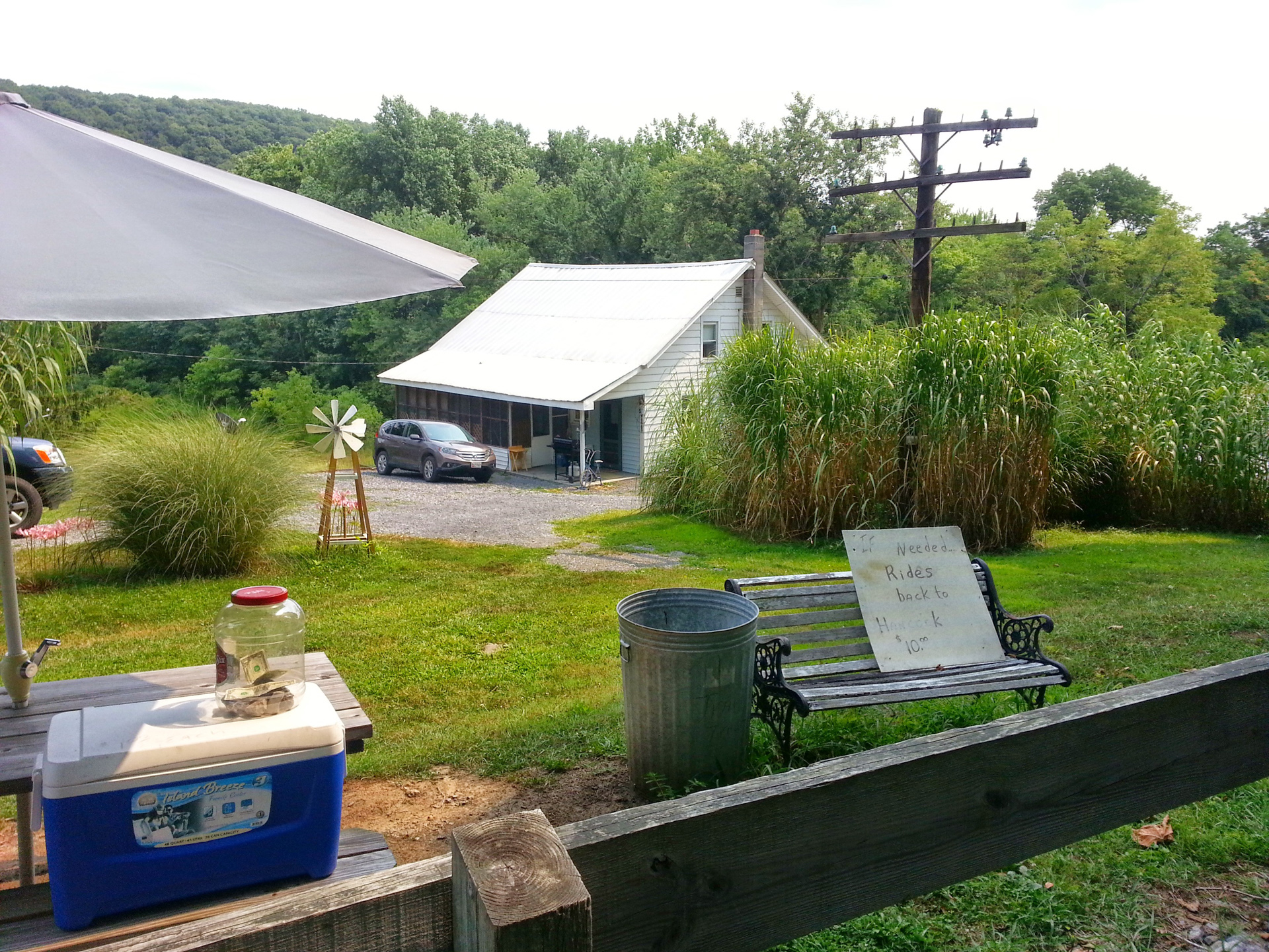
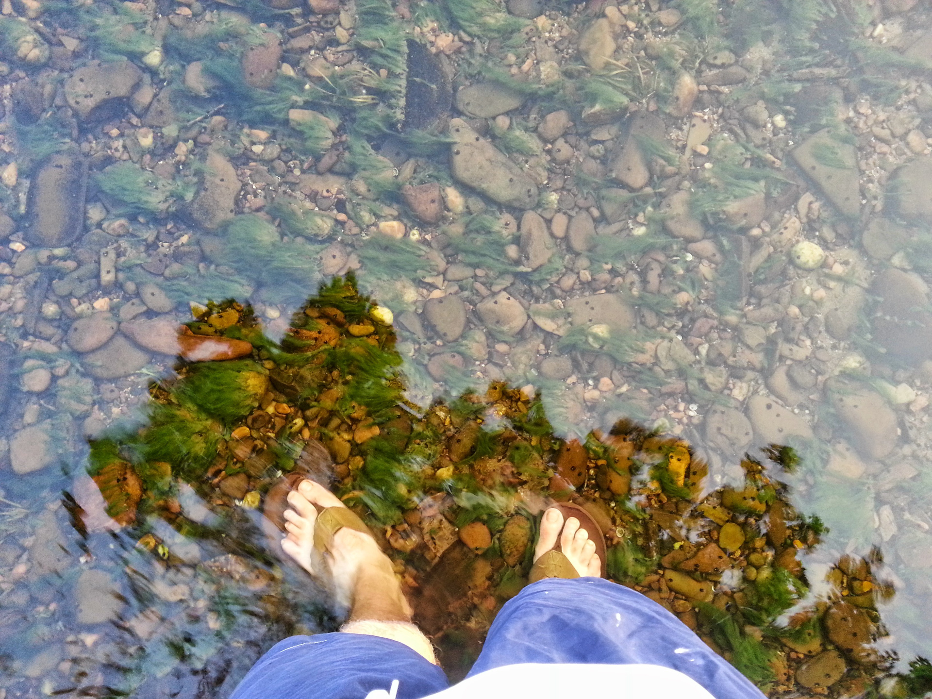
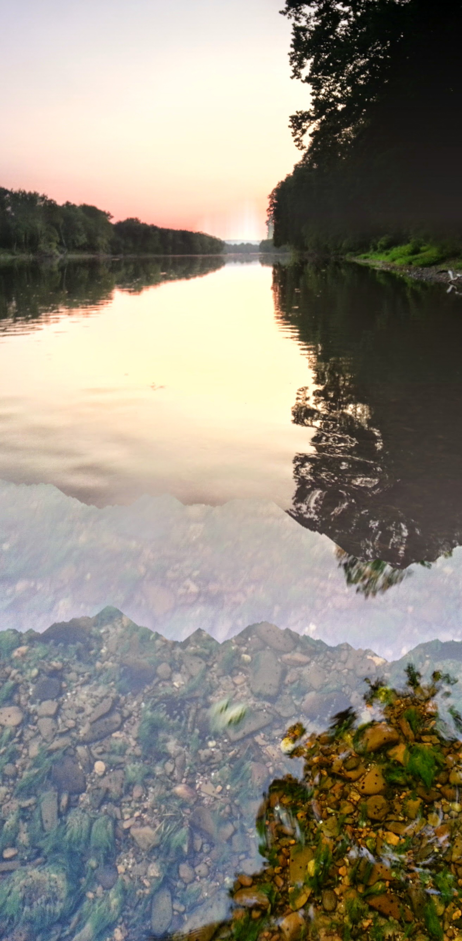
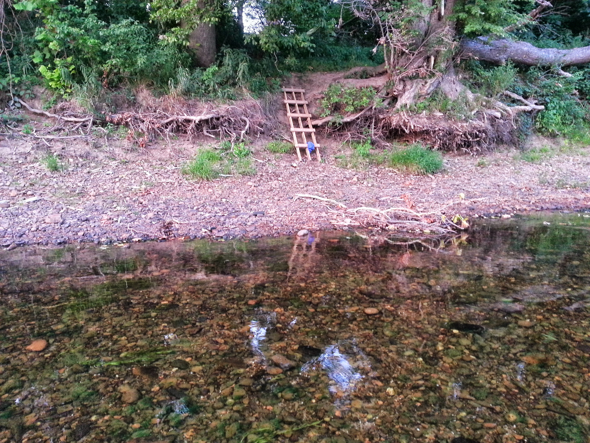
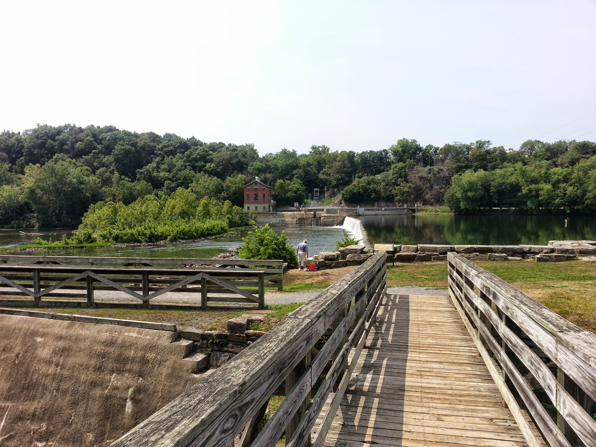
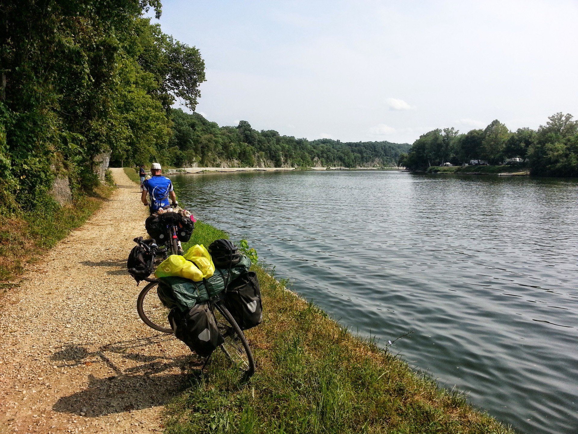
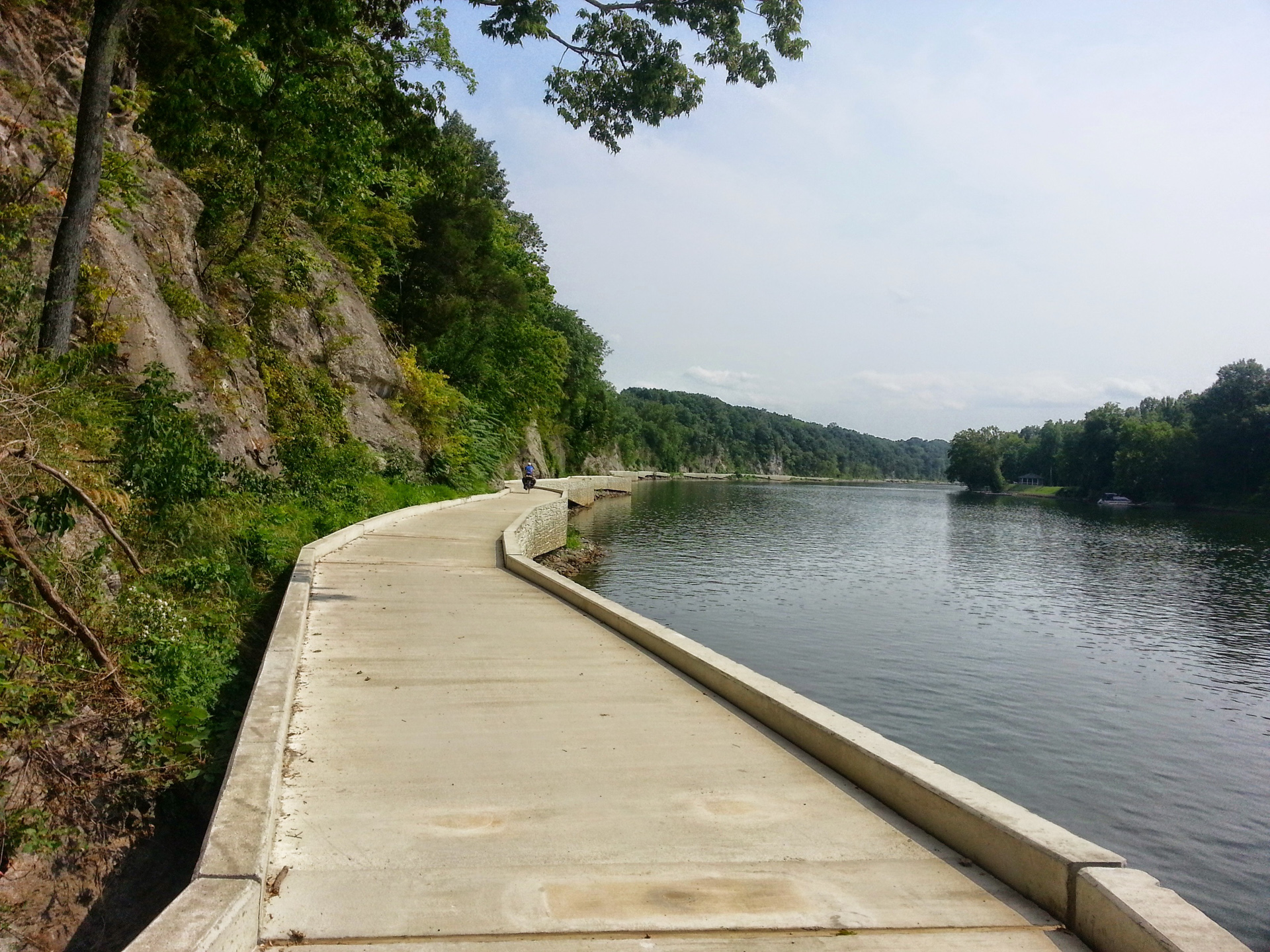
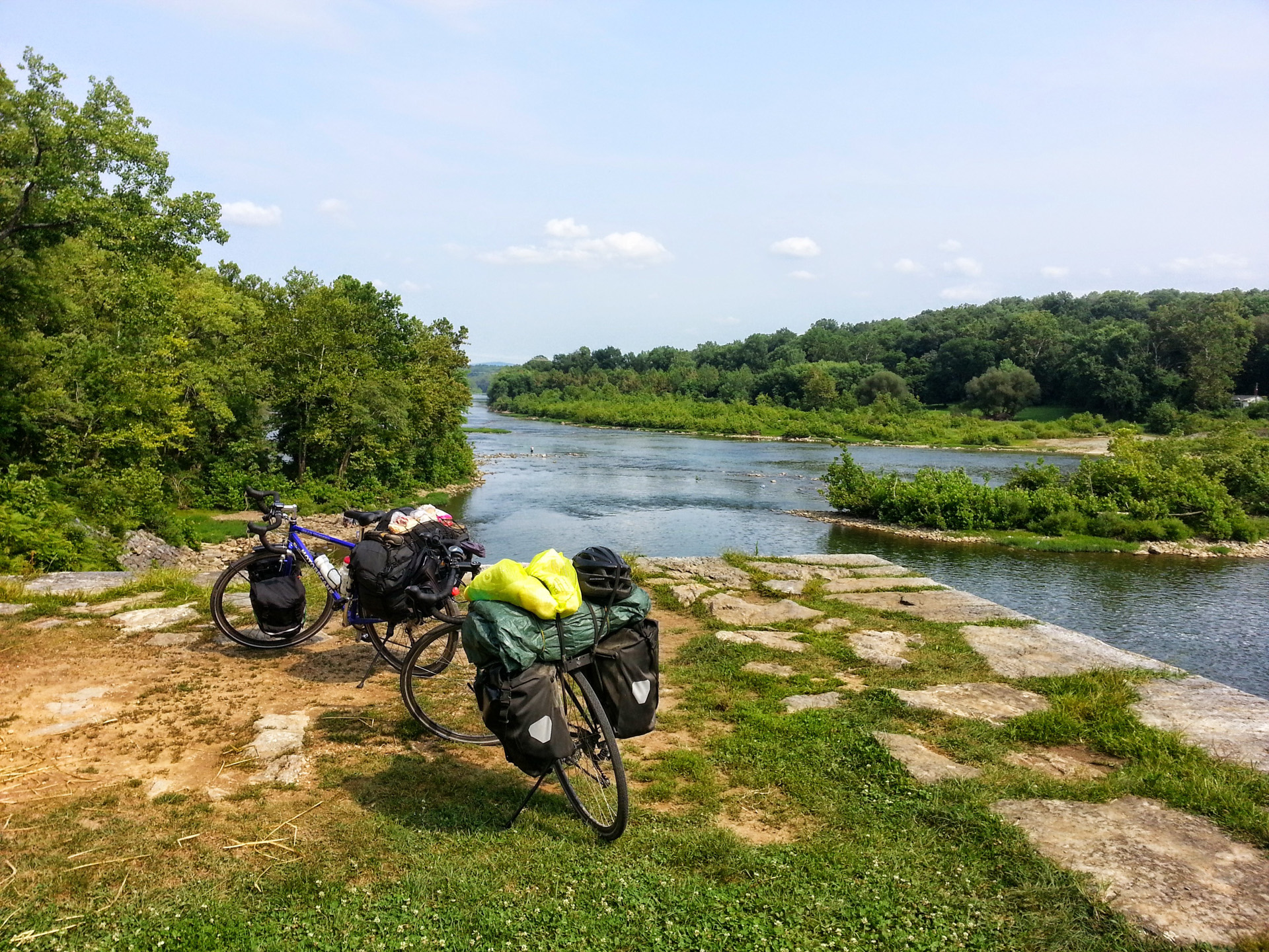
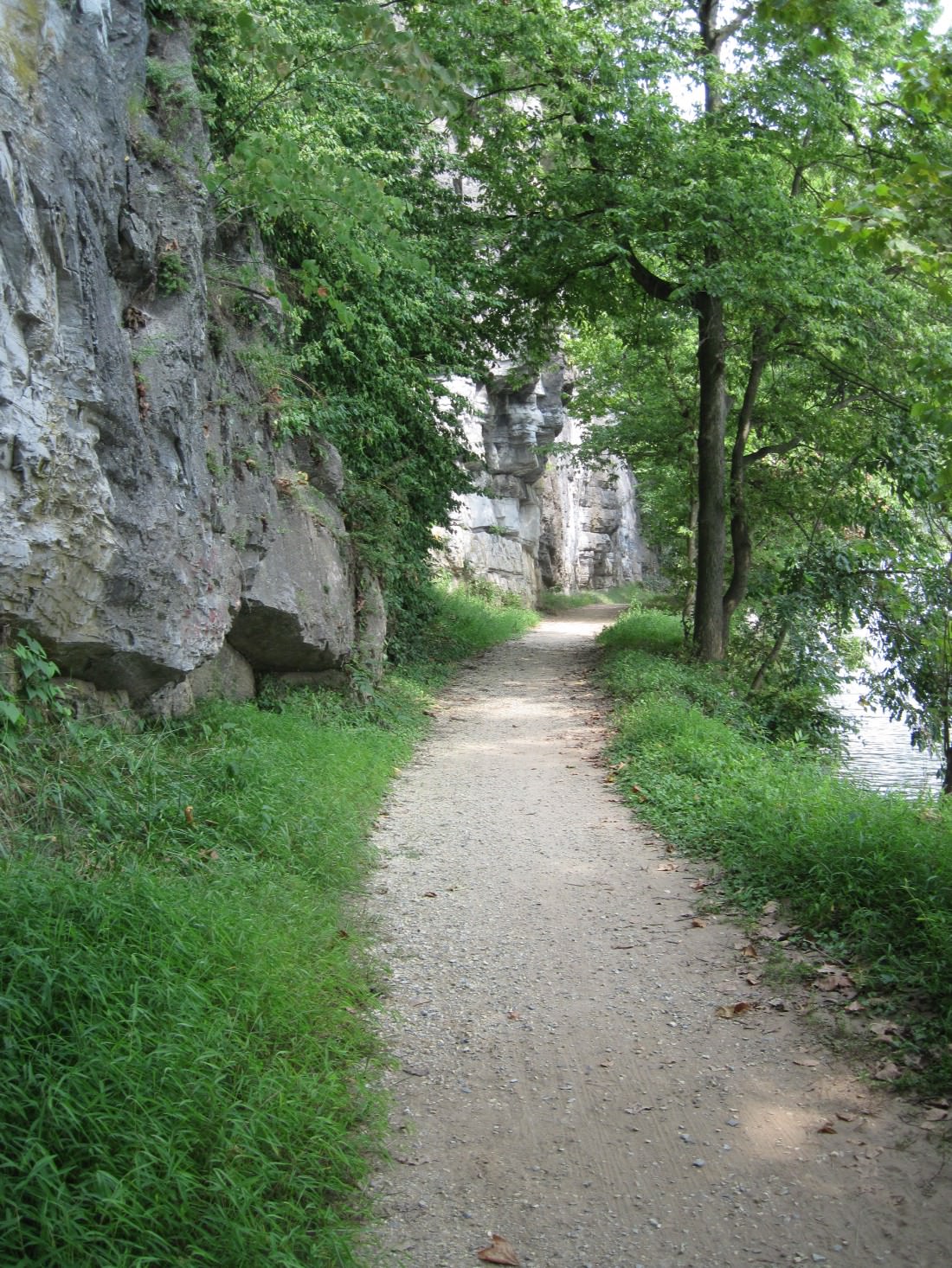
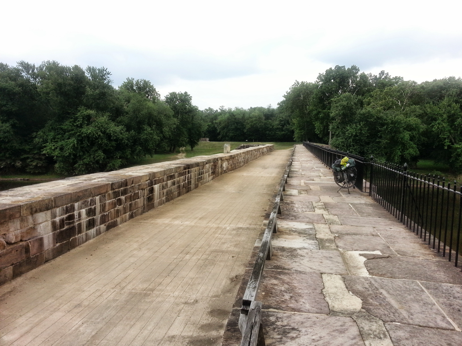
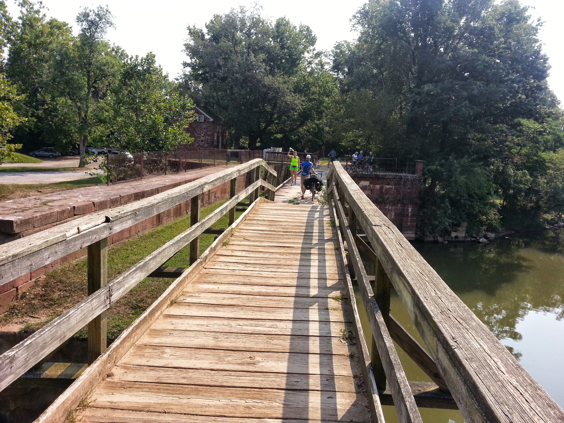
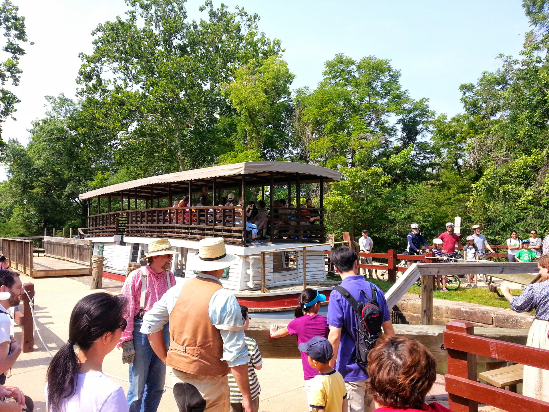
Day 5 — C&O Towpath Part 2
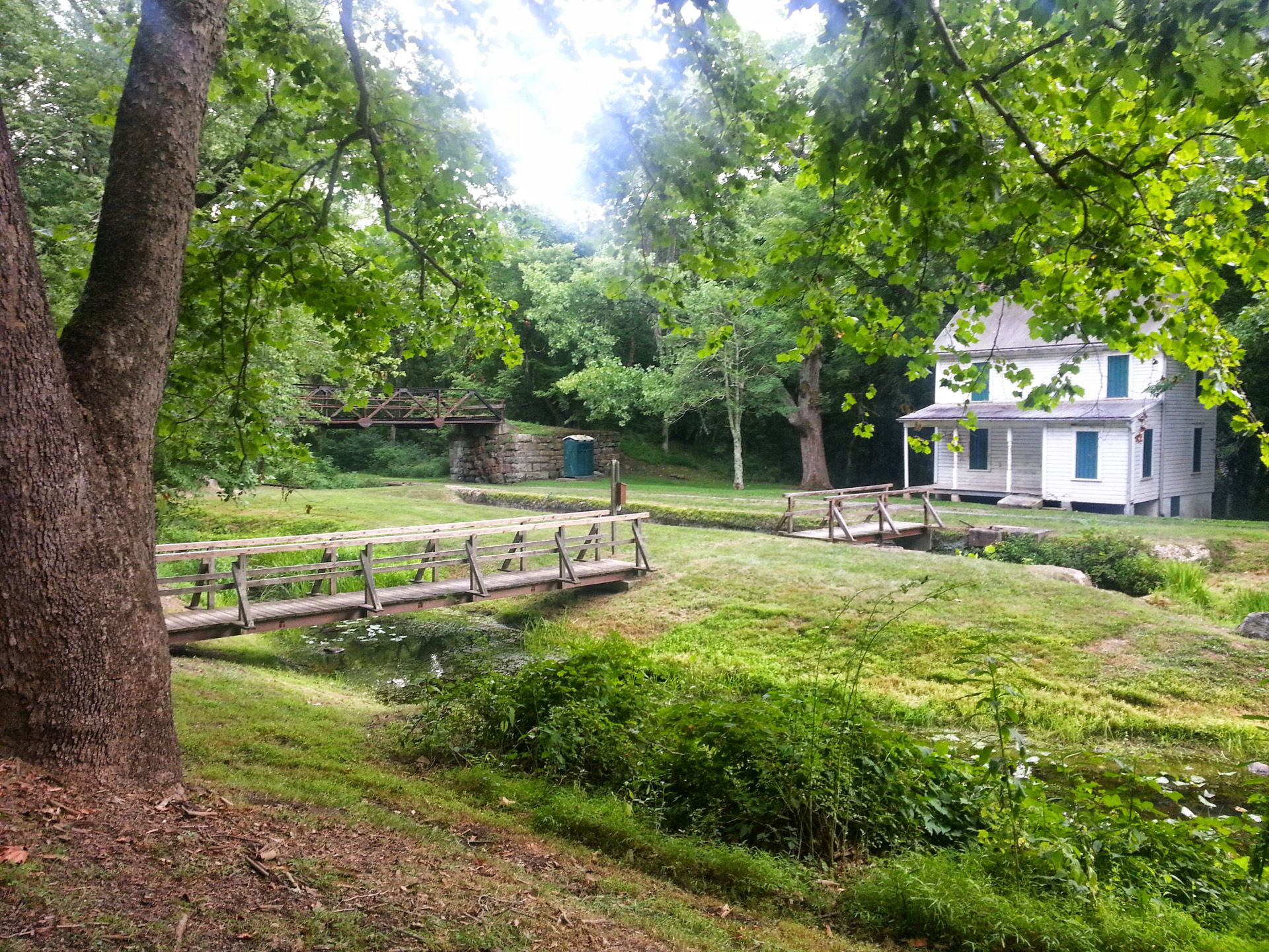
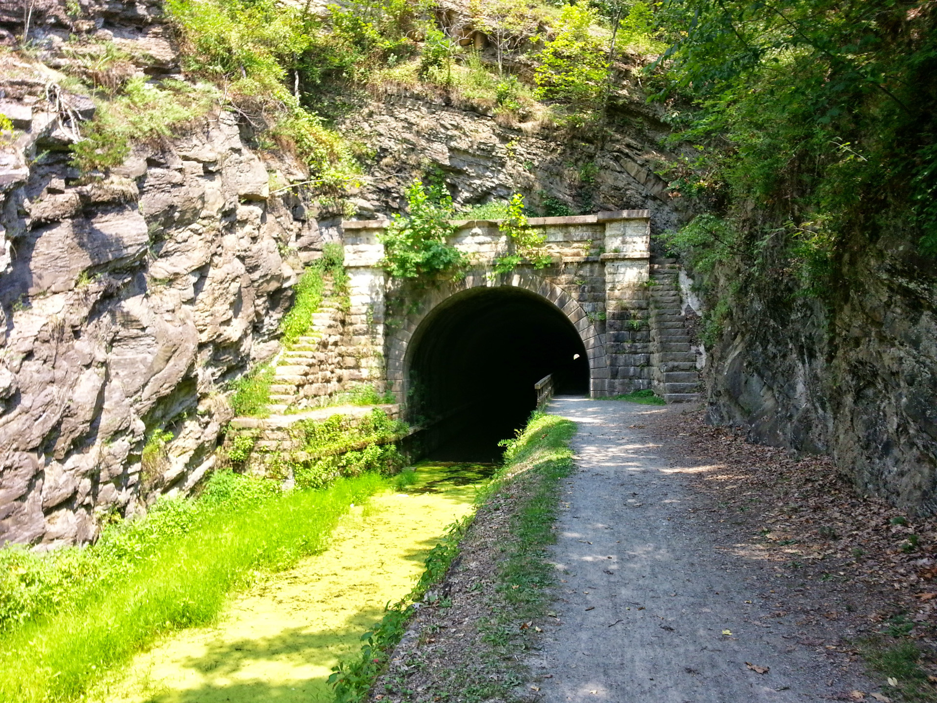
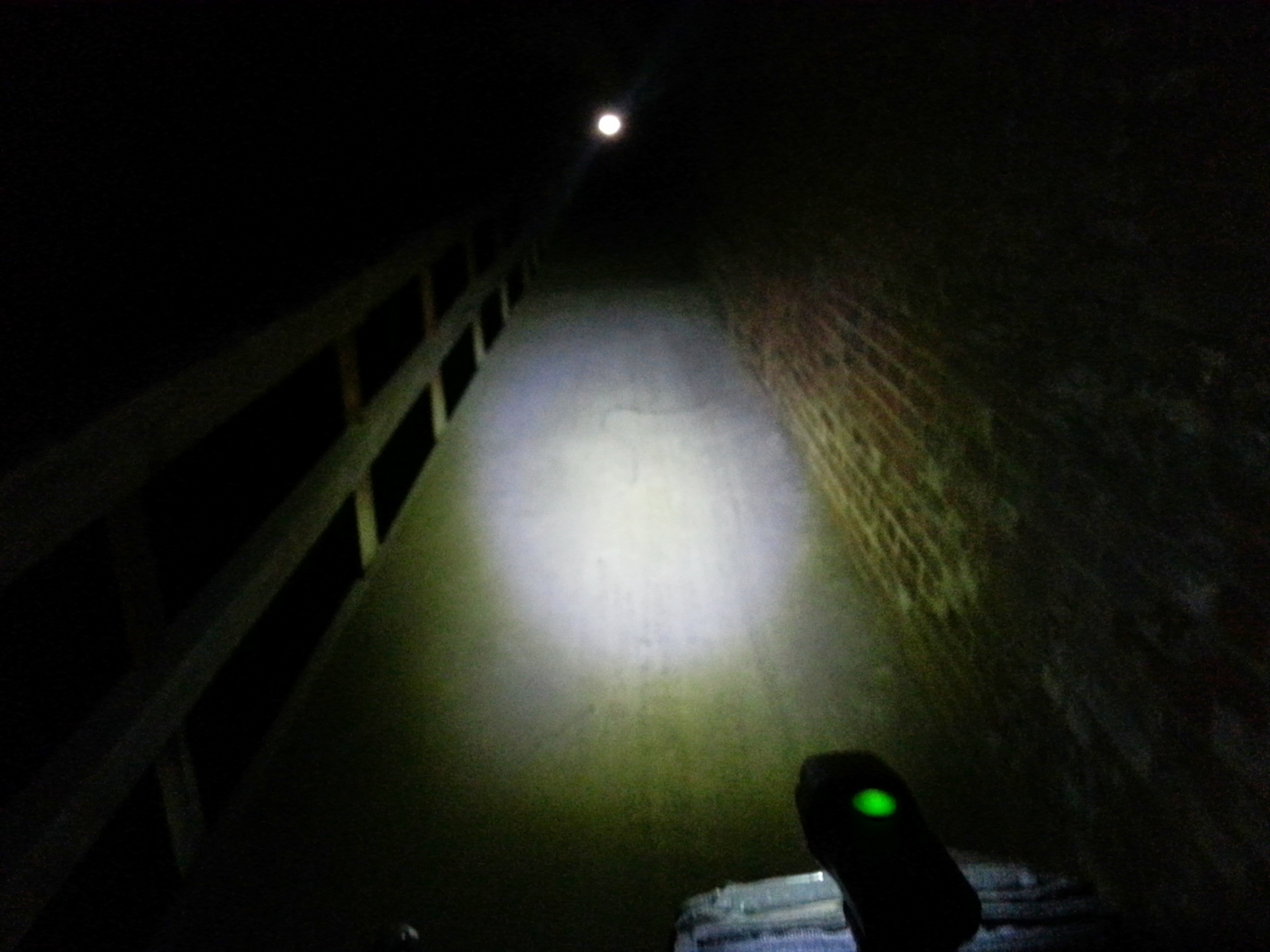
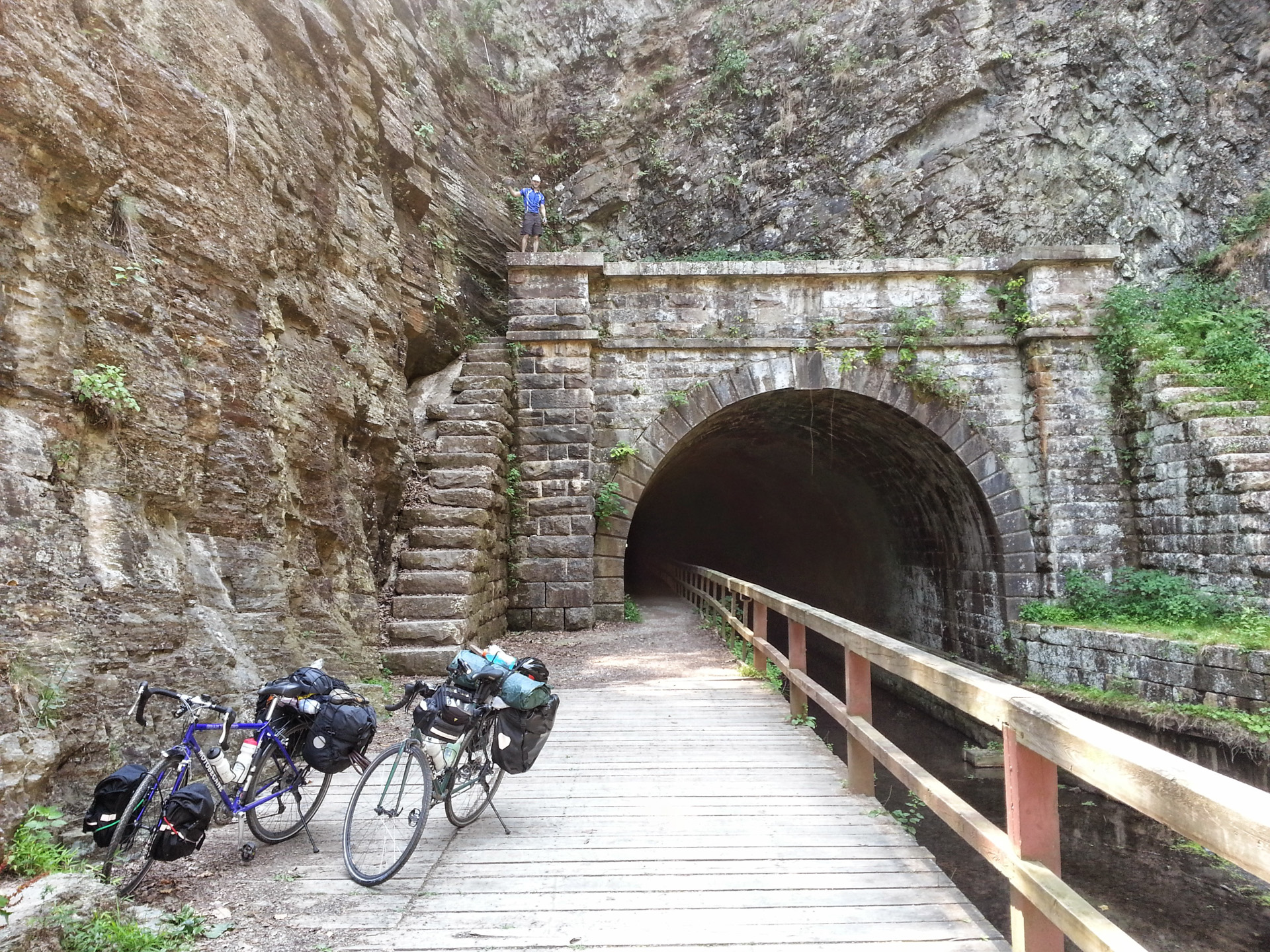
Continuing down the C&O, through Hancock and the Paw Paw Tunnel
Distance: 41.35mi
Duration: 3h:30m:50s (rolling)
Total Ascent: 4395ft
Total Descent: 5084ft
View on Endomondo
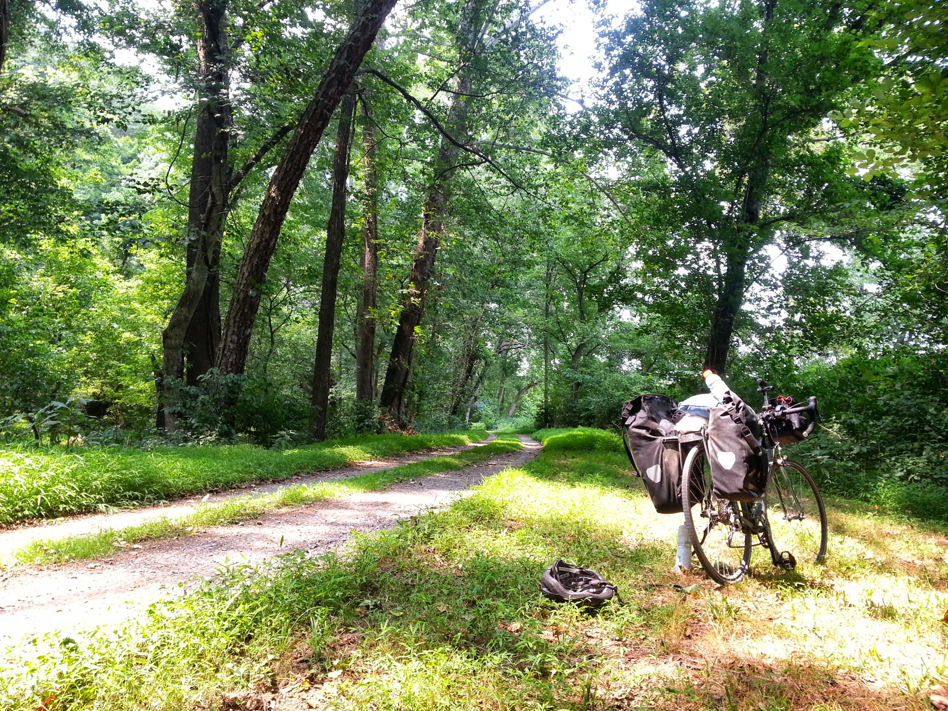
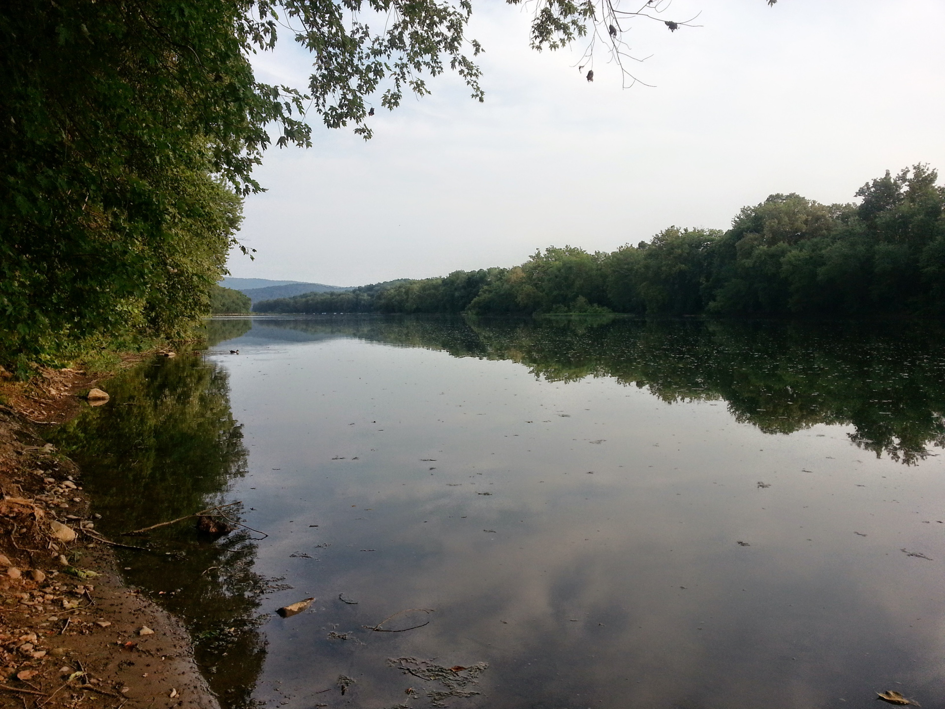
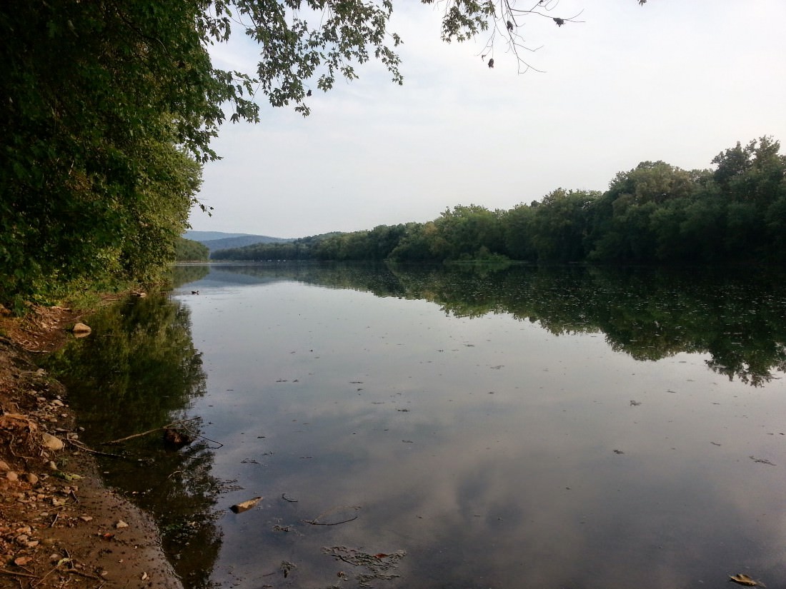
Day 6 — C&O Towpath Part 3
Distance: 52.03mi
Duration: 4h:10m:09s (rolling)
Total Ascent: 5109ft
Total Descent: 4903ft
View on Endomondo

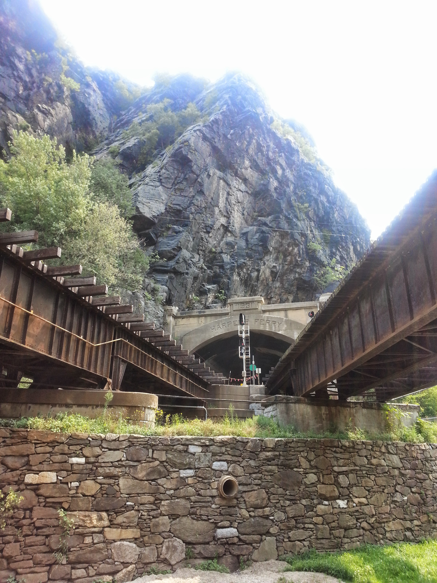
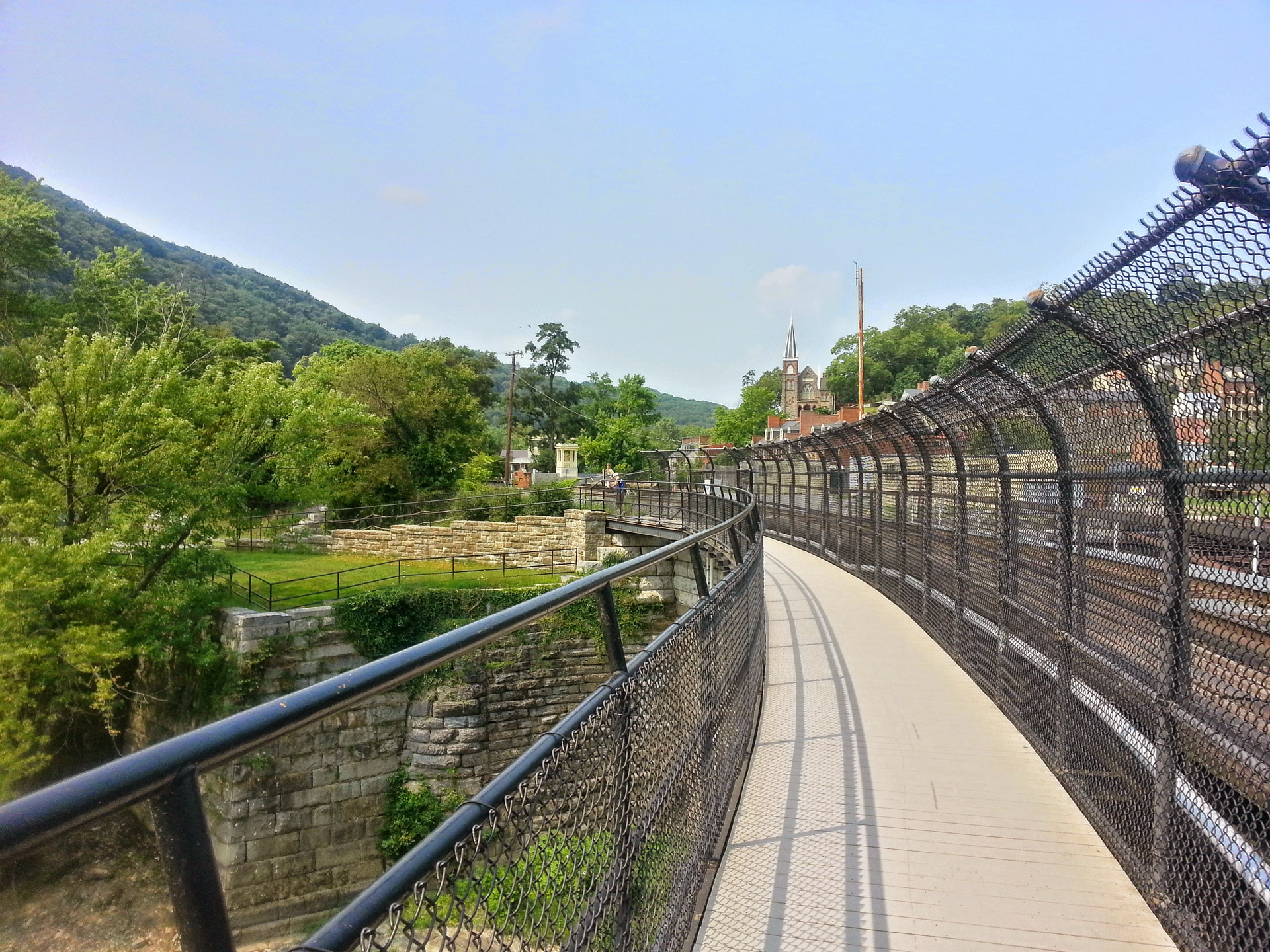
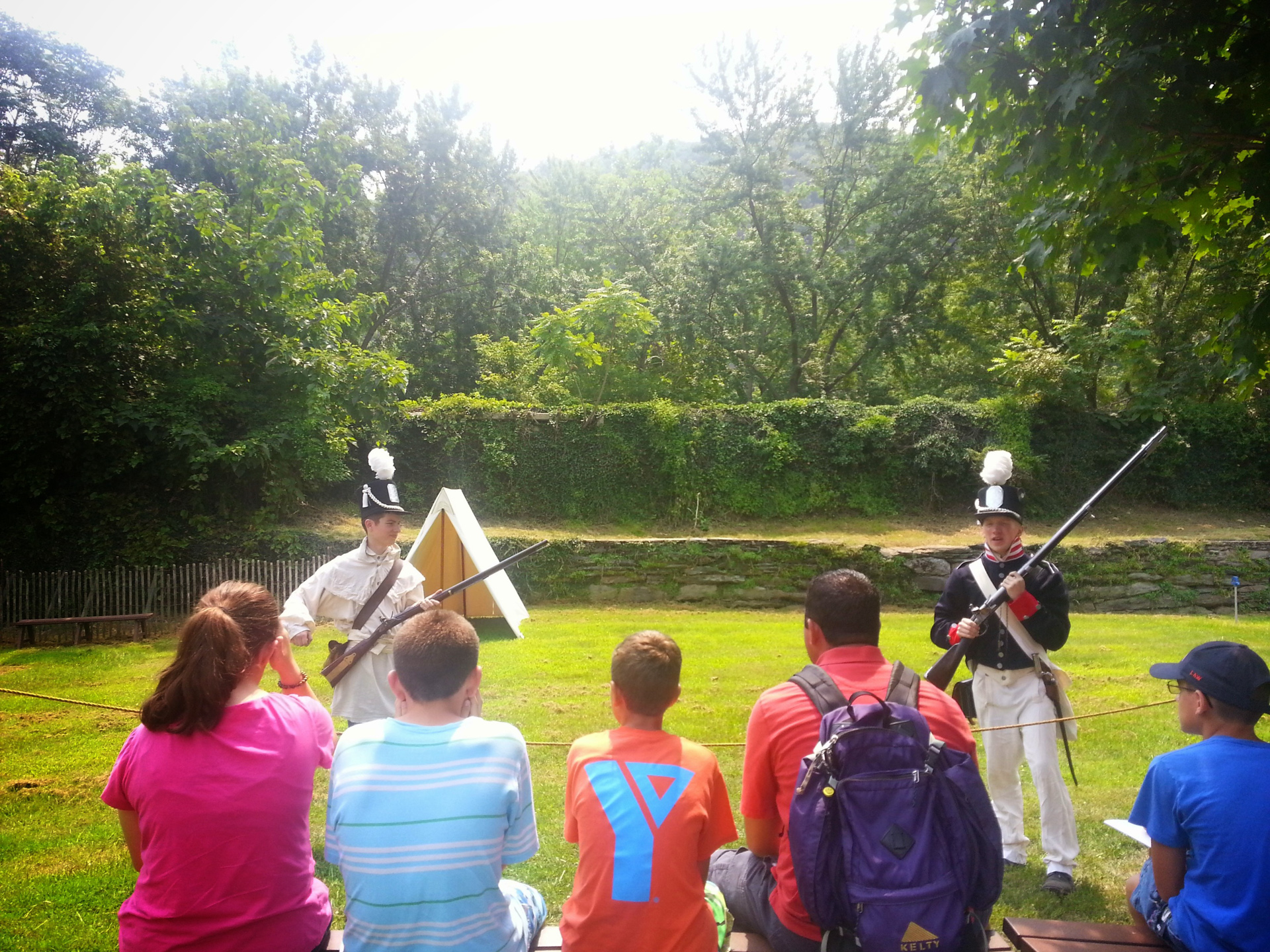
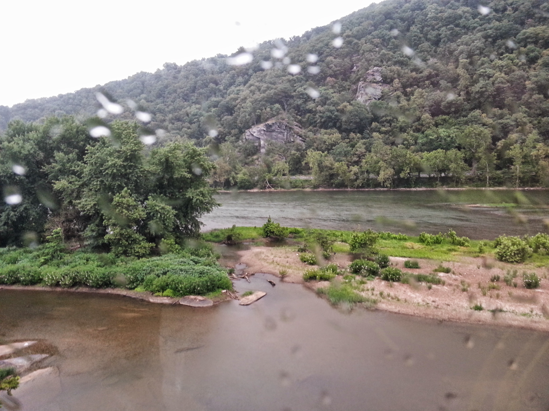
Day 7 — C&O Towpath Part 4
A quick stop in Harper’s Ferry
Distance: 43.55mi
Duration: 3h:25m:54s (rolling)
Total Ascent: 5284ft
Total Descent: 4978ft
View on Endomondo
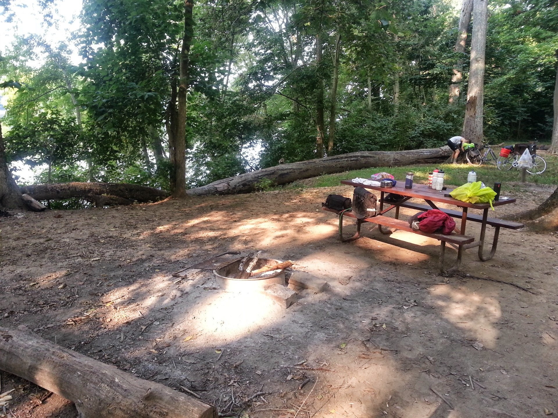
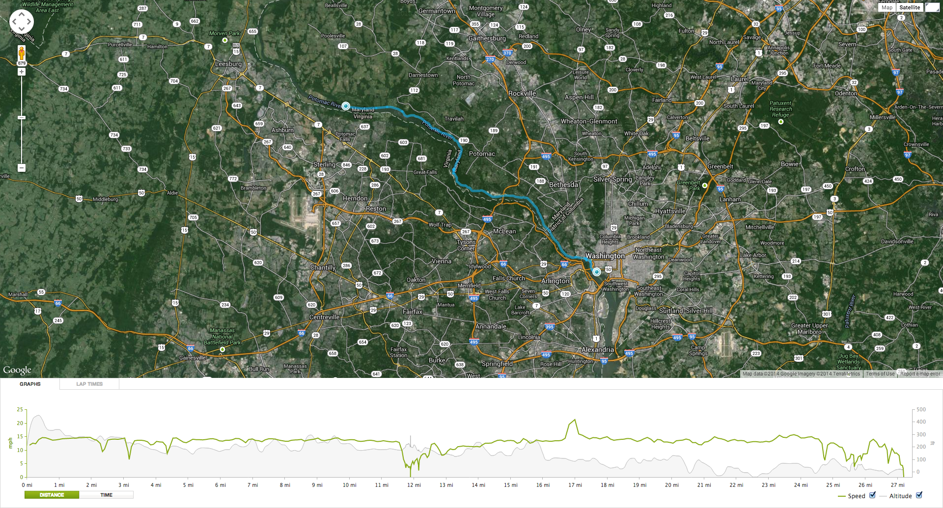
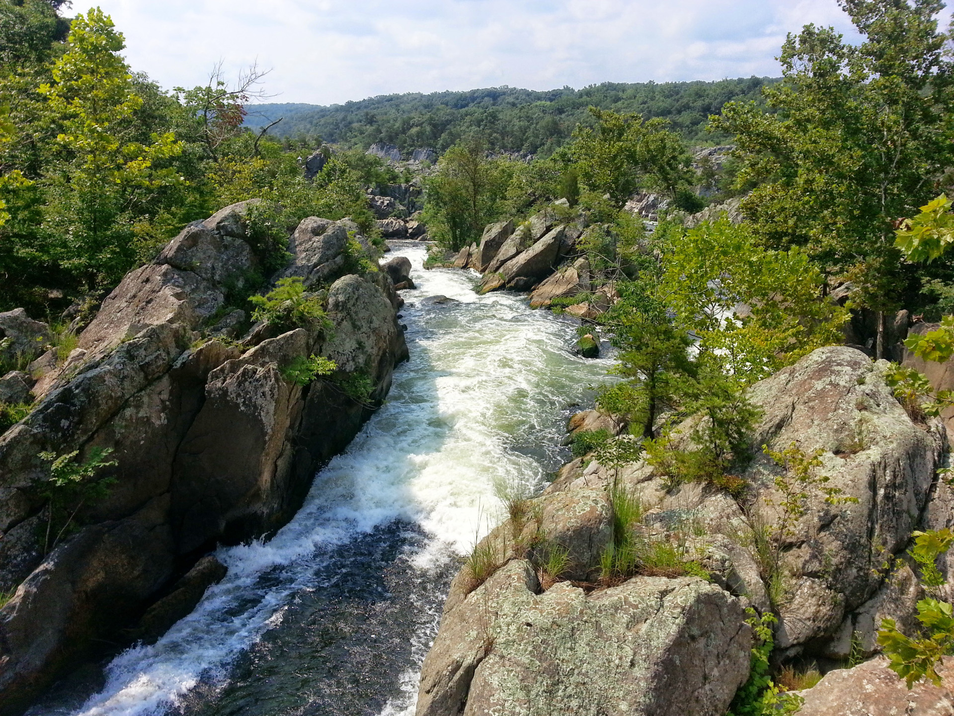
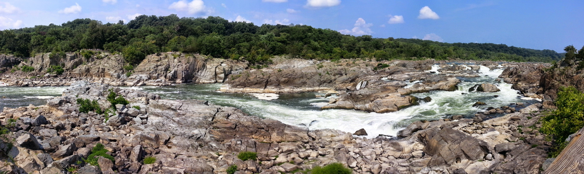
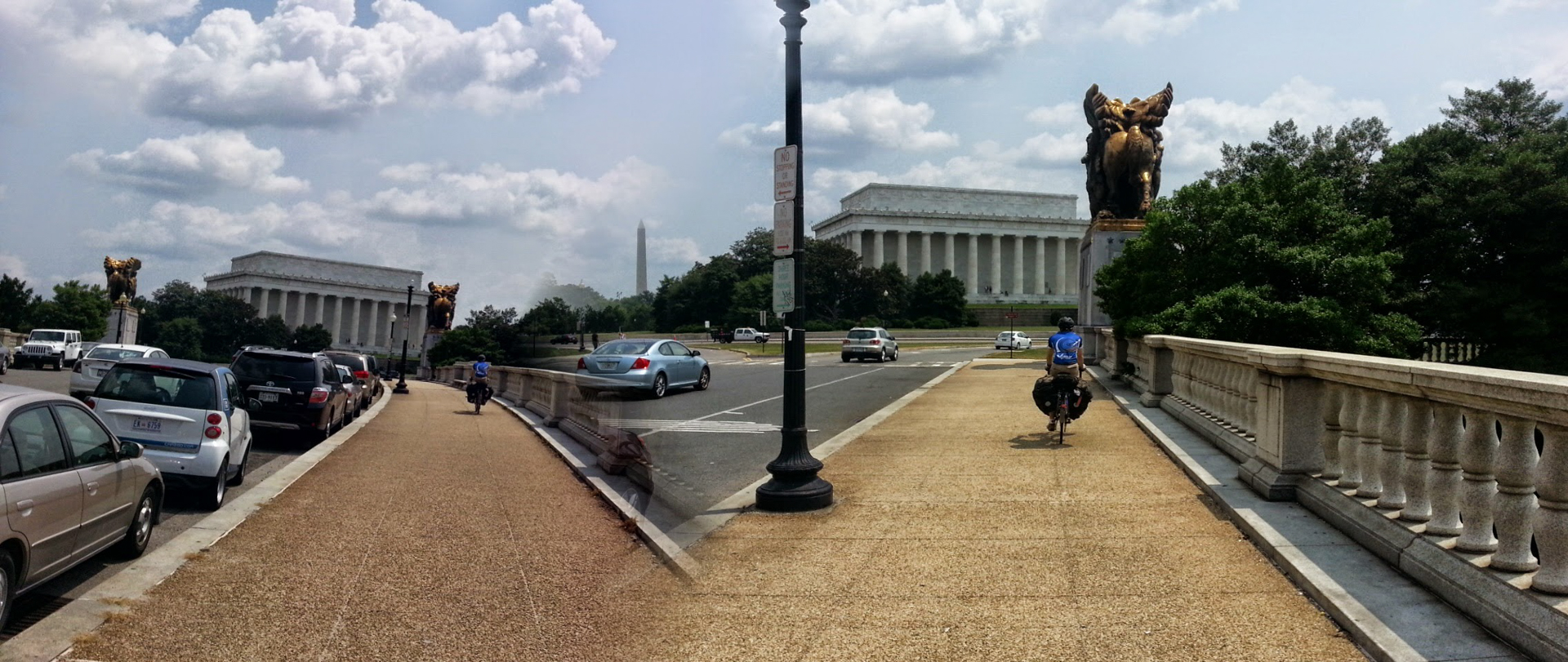
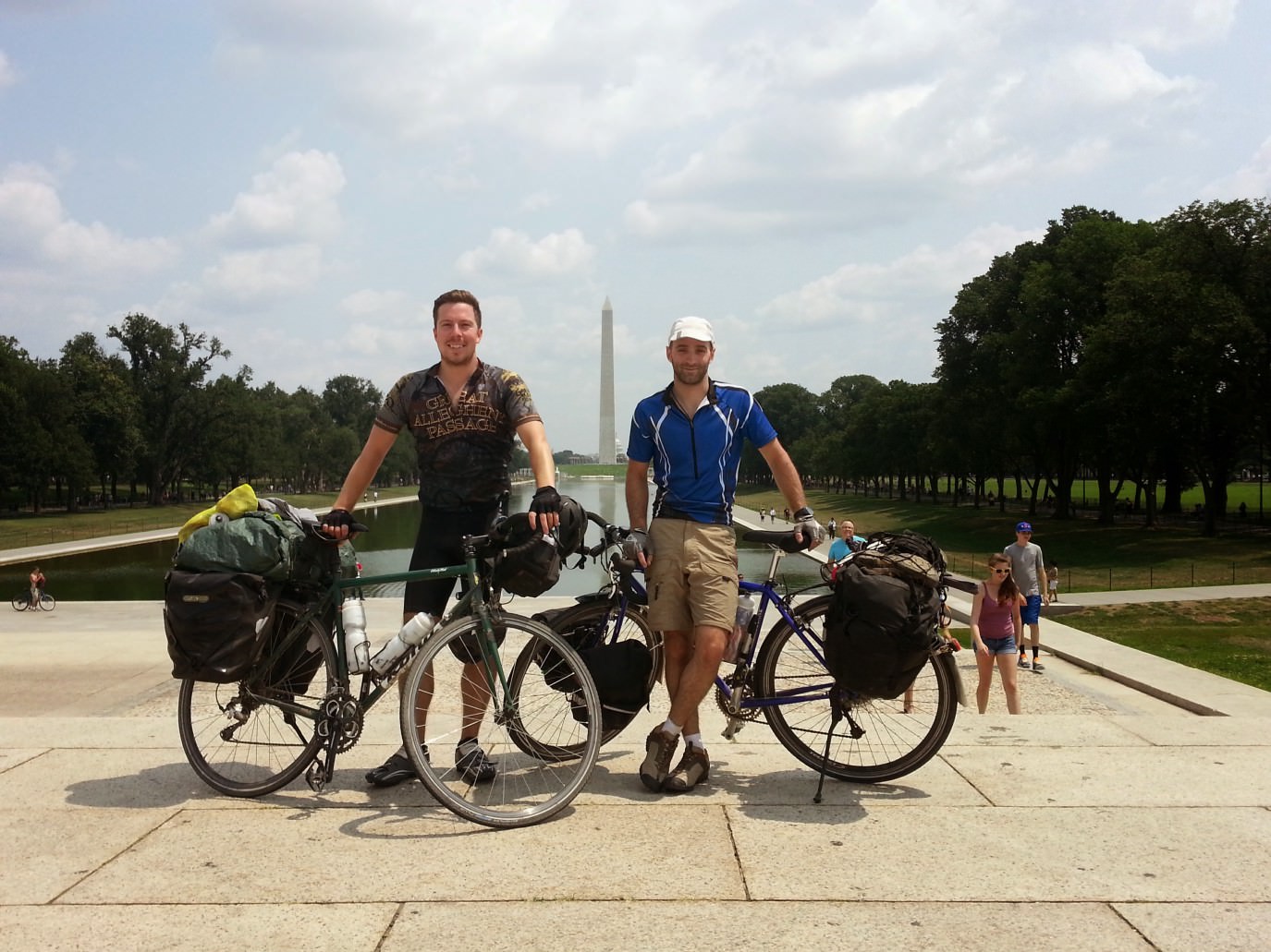
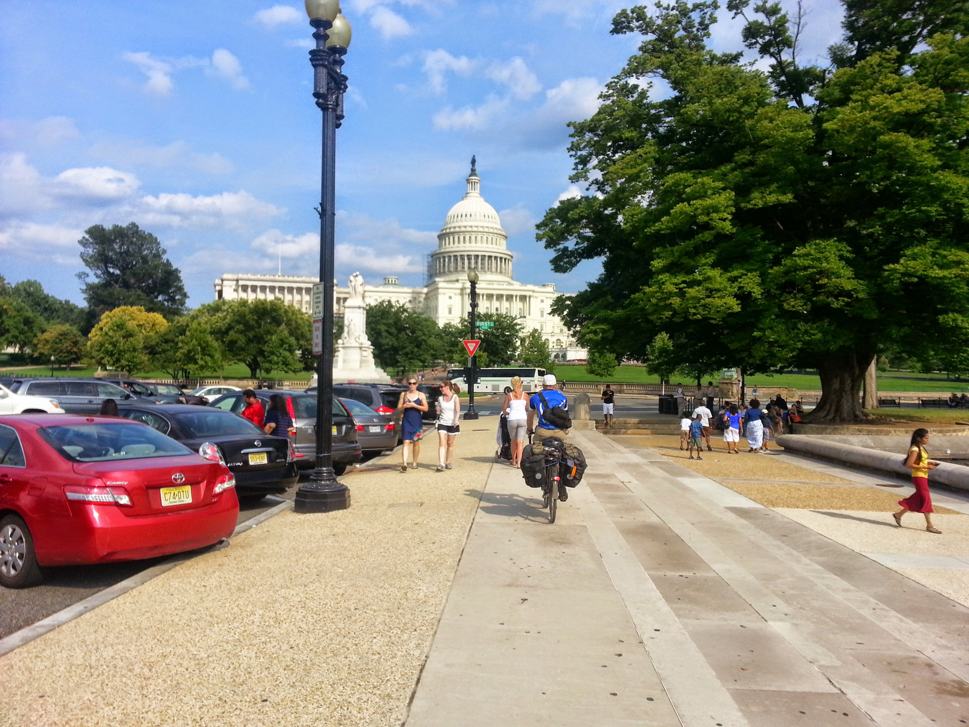
Day 8 — Wrapping up the C&O Towpath and arrival at Washington DC
A quick stop at Great Falls and then onto the national mall in DC.
Day 8, Part 1 — From the Campsite to the National Mall
Distance: 27.19mi
Duration: 2h:13m:57s (rolling)
Total Ascent: 2596ft
Total Descent: 2828ft
View on Endomondo
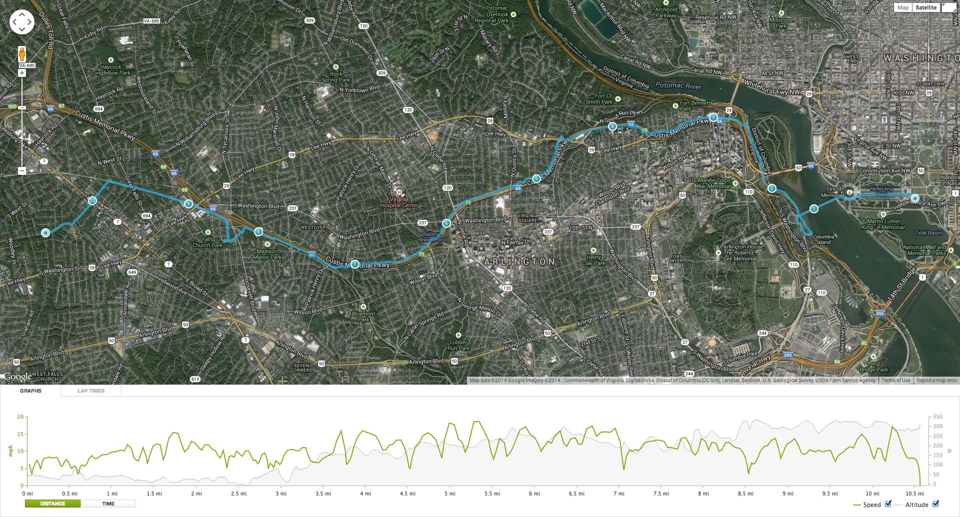
Day 8, Part 2 — Ride out to the suburbs
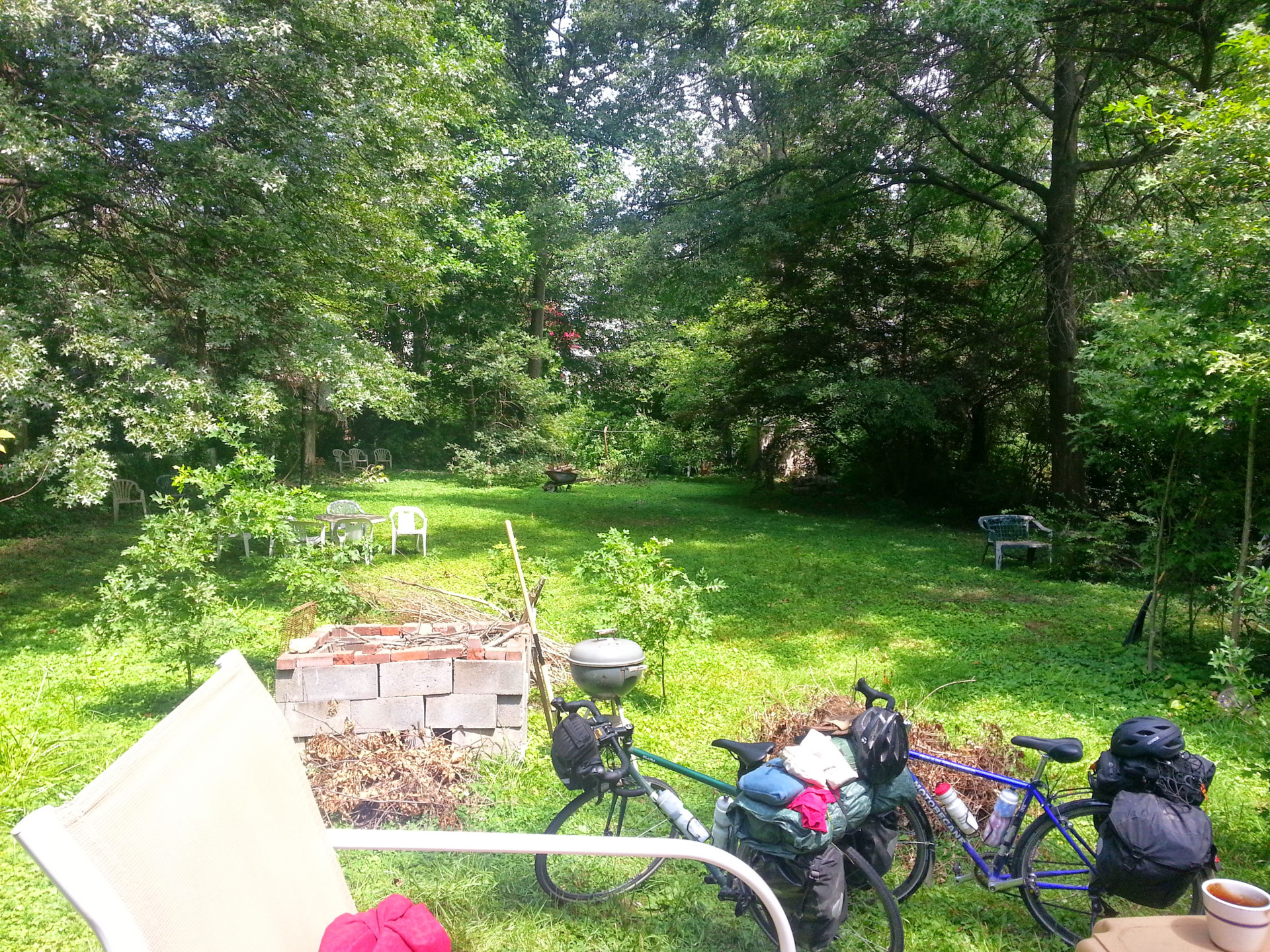
Bryan’s aunt and uncle graciously allowed us to crash at their house in Falls Church, West Virginia. It was just 9 miles out of the city, but it turned out to be the hilliest ride of the week.
Distance: 10.56mi
Duration: 1h:03m:20s (rolling)
Total Ascent: 1028ft
Total Descent: 804ft
View on Endomondo
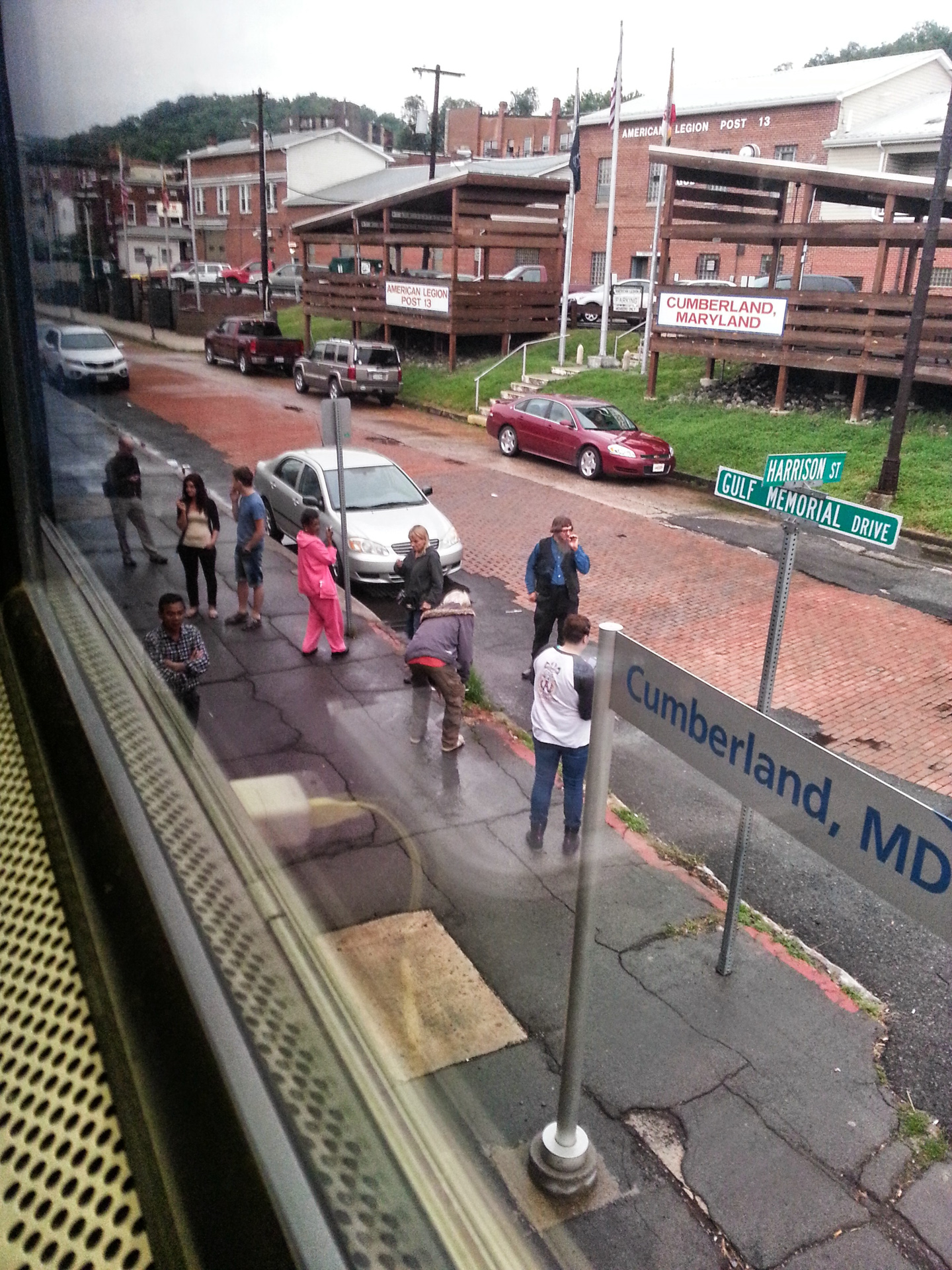
Day 9 — Heading Home
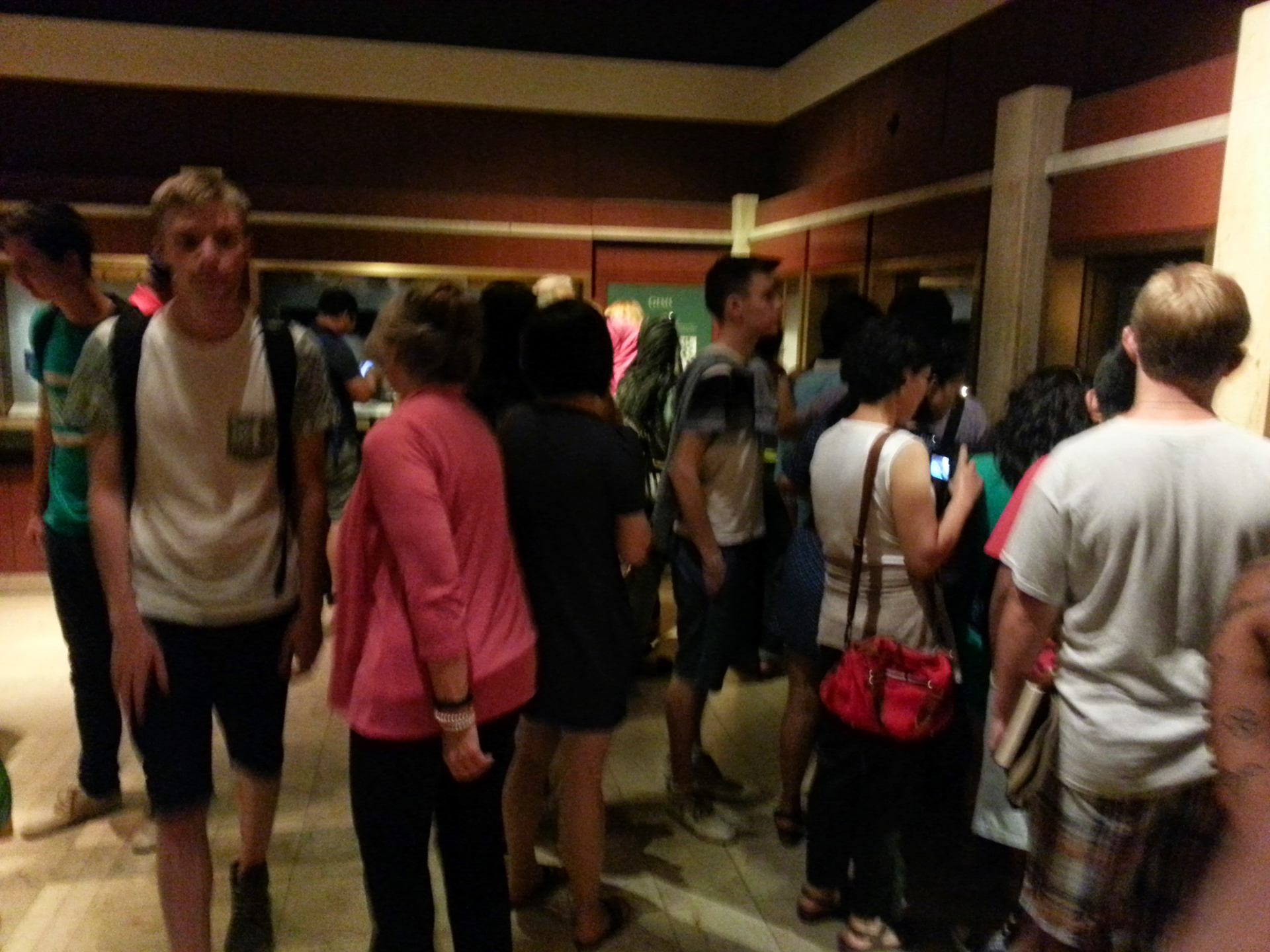
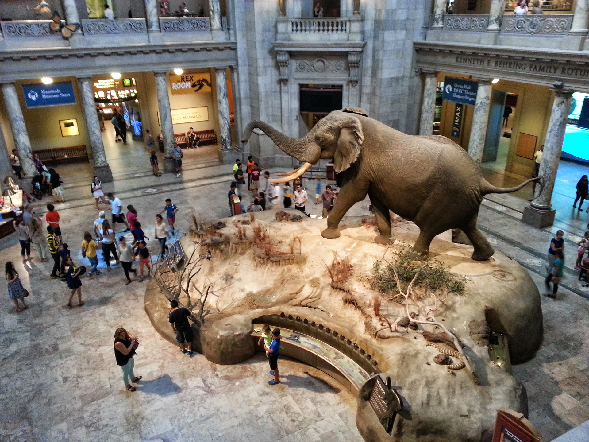
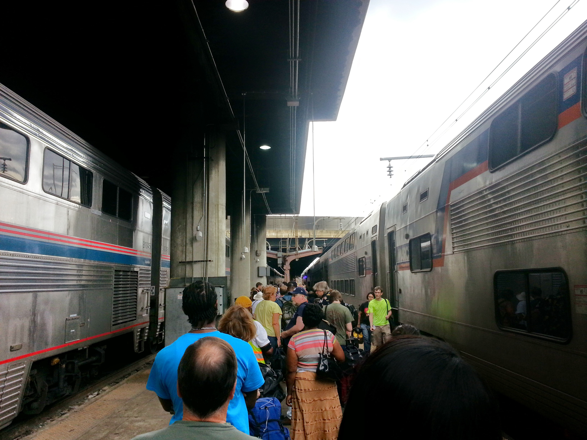
A quick stop at the DC Natural History Museum then on to Union Station Amtrak
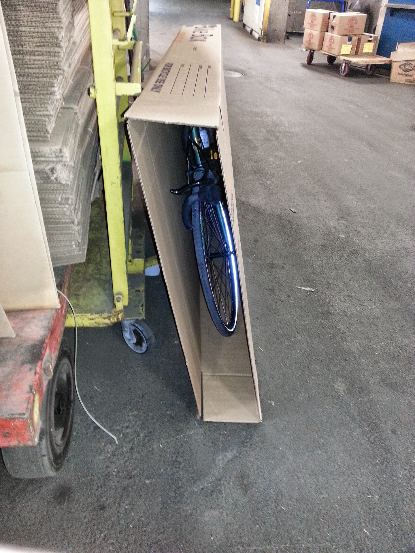
The end.